What is recorded here
Fairy fort / earthen ringfort in Lackenavorna is a fairy fort or earthen ringfort in Lackenavorna, County Tipperary, Ireland. The circular area measures 32.3 metres north-south and 25.6 metres east-west, enclosed by an earth and stone bank 3.6 metres wide. The bank stands 0.94 metres high inside and 0.65 metres high outside, with no external ditch or entrance feature recorded.
Situated in pasture on the SE-facing slope of a hill in undulating terrain, with a natural drop to the NE. The present remains consists of a circular area (diam. 32.3m N-S; 25.6m E-W) defined by an earth and stone bank (Wth 3.6m; int. H 0.94m; ext. H 0.65m) with no evidence of an external fosse or entrance feature. The bank is quite denuded except in W sector. A NE-SW field bank skirts the NW quadrant while a post and wire fence extends along the NE quadrant where the bank has been largely reduced to a scarp. A NW-SE field bank abuts the SE quadrant. The interior slopes slightly to the SE.
The above description is derived from 'The Archaeological Inventory of County Tipperary. Vol. 1 - North Tipperary' compiled by Jean Farrelly and Caimin O'Brien (Dublin: Stationery Office, 2002). In certain instances the entries have been revised and updated in the light of recent research.
Date of upload/revision: 22 September 2008
The monument record does not grant public access. Check the route and ask the landowner before entering private land.
- What survives
- Recorded monument
Places near here
 Killavalla WoodForest · 718 yd
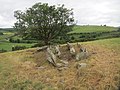 Enclosure in LackenavornaEnclosure · 816 yd
 Moat of LatteraghCastle, motte · 830 yd
 Ecclesiastical enclosure in LackenavornaEcclesiastical enclosure · 839 yd
 Knockacraheen HillMountain / peak · 1561 yd
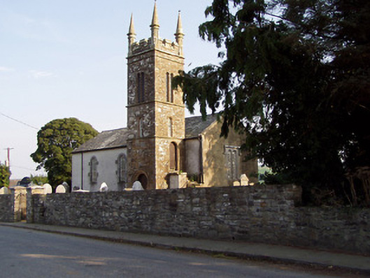 Templederry Churchchurch/chapel · 1.2 mi
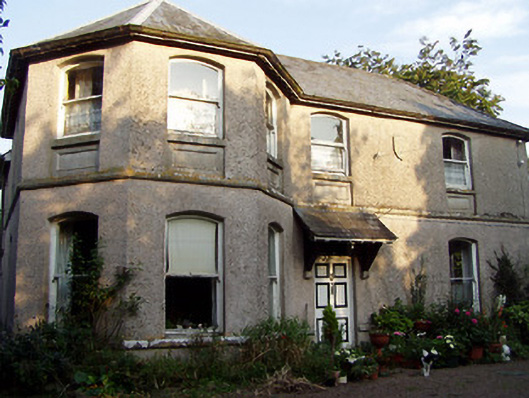 Otway Houserectory/glebe/vicarage/curate's house · 1.2 mi
 Latteragh Castle (in ruins)Castle, Anglo-Norman masonry castle · 1.2 mi
 Interragh HillMountain / peak · 1.3 mi
 Kyleroe WoodWood · 4.8 mi
 Silvermines ViewpointViewpoint · 6.8 mi
 Our Lady Assumed into HeavenMemorial · 7.1 mi