What is recorded here
Lackaroe holds a broken earthen ring where a garden now occupies the centre, proving that human hands have repeatedly shaped the same ancient boundary. The surviving bank is modest, but the buried passage and children's burial ground claimed by local memory suggest the site served more than ordinary farm life. Trees and soil have softened the edge, yet the stones inside still mark a place where the living and dead may have shared one small circle.
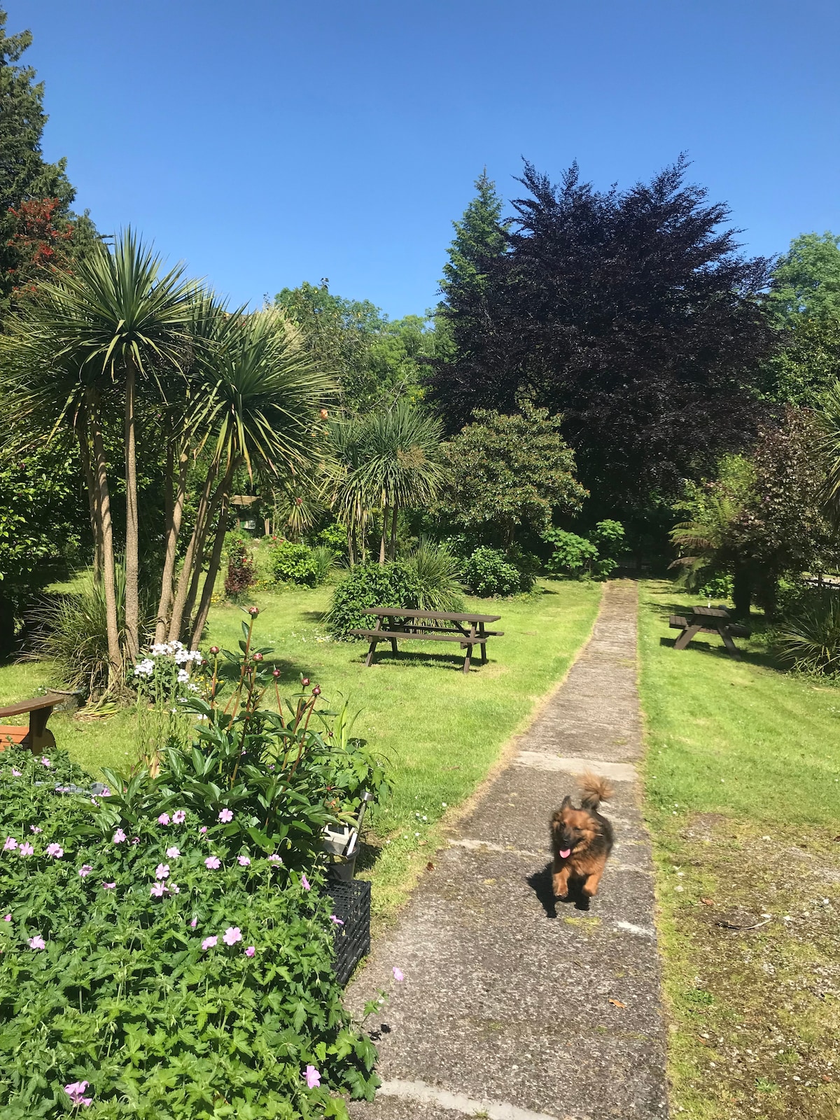
In pasture, on the crest of a ridge to the SW of Curramore Hill. This rath is indicated as a circular enclosure (diam. c. 25m) on the 1846 OS 6-inch map. An arc of earthen bank (Wth 4.4m; int. H 0.5m; ext. H 1m) survives NE-E. The remainder of the rath has been landscaped by the introduction of earth and the formation of a scarp (H 1.5m) which may be approximately on the line of the bank. The interior (31m E-W; 28m N-S) is now a landscaped garden with an entrance at W. A boulder and other smaller stones which protrude from the surface of the interior are, according to local information, in their original positions. Trees have been planted around the perimeter of the rath. According to local information, there is a Man-made underground passage (KE093-049001-) and a children's burial ground (KE093-049002-) in this rath.
The above description is derived from the published 'Archaeological Inventory of County Kerry. Volume I: South-West Kerry' (Dublin: Stationery Office, 2009). In certain instances the entries have been revised and updated in the light of recent research.
Date of upload: 30 May 2011
The monument record does not grant public access. Check the route and ask the landowner before entering private land.
- What survives
- Recorded monument
Places near here
 Dromanassig Br.Bridge · 831 yd
 Enclosure in LackaroeEnclosure · 871 yd
 LisheenboyFairy fort / earthen ringfort · 1572 yd
 Glashagarriv Br.Bridge · 1.4 mi
 CastleCastle, unclassified · 1.7 mi
 Knockbrack South TopMountain / peak · 2.0 mi
 Bullaun StoneHeritage attraction · 2.0 mi
 Bonane Heritage ParkMuseum · 2.1 mi
 Mucksna MountainMountain / peak · 2.3 mi
 Shanagarry Castle (Site of)Castle, unclassified · 2.4 mi
 Monterey PineMonterey Pine · 2.6 mi
 The Lodge WoodWood · 2.8 mi