
What is recorded here
In rough pasture, on a SW-facing slope overlooking the valley of the Sheen River. A roughly oval area (33.5m NE-SW; 27m NW-SE) is defined by the remains of two banks and an intervening fosse. The inner earthen bank (Wth 2.9m; int. H 0.6m; ext. H 0.75m) is evident N-SSE while a scarp (H 1.2m) is evident SSE-N. The scarp is partially eroded along the S arc. An intervening fosse (Wth 3.2m) is evident N-SSE. The outer bank (Wth 3.2m; int. H 0.7m; ext. H 0.6m) is evident N-SSE. Traces of stone inclusions are visible on the internal face of the inner bank along the NE arc. There is a possible entrance (Wth c. 2m) at SE and several smaller cattle-breaks along the perimeter. The interior slopes down to the SW where it is raised (H 1.2m) above the external ground level; three boulders are embedded in the SW quadrant. A NE-SW field boundary abuts the SE arc of the scarp externally. The enclosing elements and the interior are largely obscured by gorse and whitethorn bushes.
The above description is derived from the published 'Archaeological Inventory of County Kerry. Volume I: South-West Kerry' (Dublin: Stationery Office, 2009). In certain instances the entries have been revised and updated in the light of recent research.
Date of upload: 30 May 2011
The monument record does not grant public access. Check the route and ask the landowner before entering private land.
- What survives
- Recorded monument
Places near here
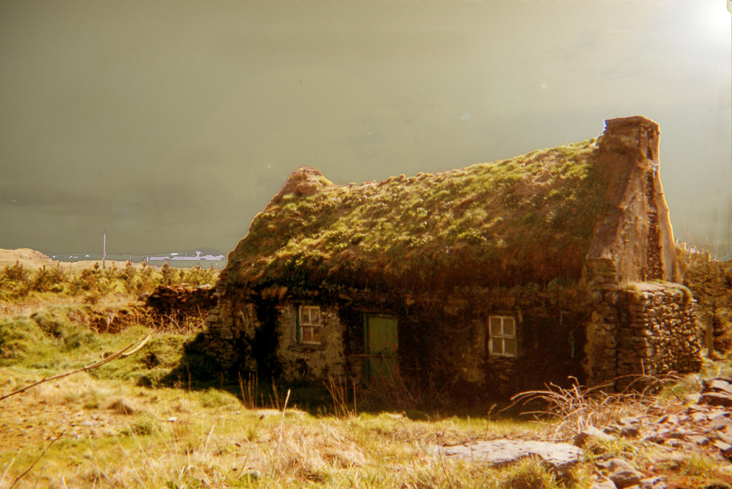 Hut site in Cappagh (glanarought By.)Hut site · 900 yd
 Dromanassig Br.Bridge · 957 yd
 SheepfoldHut site · 1090 yd
 Glashagarriv Br.Bridge · 1321 yd
 Bullaun StoneHeritage attraction · 1.4 mi
 Knockbrack South TopMountain / peak · 1.4 mi
 Bonane Heritage ParkMuseum · 1.5 mi
 Coomclogherane TopMountain / peak · 1.7 mi
 CastleCastle, unclassified · 2.6 mi
 Shanagarry Castle (Site of)Castle, unclassified · 3.2 mi
 Monterey PineMonterey Pine · 3.4 mi
 European YewEuropean Yew · 3.5 mi
Other information
Photo: Credit not shown in the picture search · Rights wording not checked; contact us if this picture should be removed