What is recorded here
Fairy fort / earthen ringfort in Lackandarra Upper is a fairy fort or earthen ringfort in Lackandarra Upper, County Waterford, Ireland. It occupies a slight northeast-facing slope as a circular scrub-covered area measuring 39 metres north-south and 38 metres east-west. An overgrown earthen bank defines the circle, reaching 6 metres wide, 1 metre high internally and 1.2 metres high externally at the east, while a silted-up fosse accompanies it. A 4-metre-wide entrance faces east-southeast, and sheds stand inside the enclosure.
Situated on a slight NE-facing slope. Circular scrub-covered area (diam. 39m N-S; 38m E-W) defined by an overgown earthen bank (at E: Wth 6m; int. H 1m; ext. H 1.2m) with a silted-up fosse. The entrance (Wth 4m) at ESE and there are sheds in the interior.
The above description is derived from the published 'Archaeological Inventory of County Waterford' (Dublin: Stationery Office, 1999). In certain instances the entries have been revised and updated in the light of recent research.
Date of upload/revision: 15 November 2010
The monument record does not grant public access. Check the route and ask the landowner before entering private land.
- What survives
- Recorded monument
Places near here
 ToberatempleHoly well · 364 yd
 Church in Knockboy (decies Without Drum By., Seskinan Par.)Church · 431 yd
 IndicatedEnclosure · 587 yd
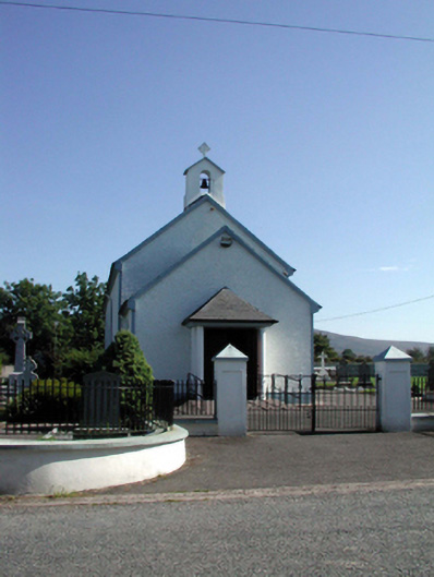 Saint Patrick's Catholic Churchchurch/chapel · 1.3 mi
 Standing StoneMemorial · 2.8 mi
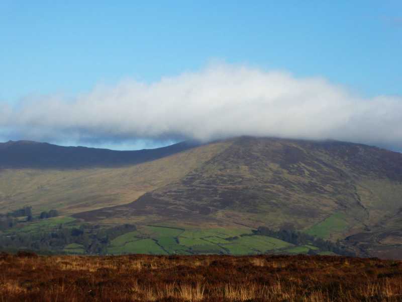 Bleantasour MountainMountain / peak · 3.0 mi
 Pigeon HillMountain / peak · 3.7 mi
 Site of CastleCastle, unclassified · 4.3 mi
 Curraghcloney CastleCastle · 4.9 mi
 Mahon ValleyCliff · 5.2 mi
 Glenshelane WoodsForest · 5.9 mi
 Glenshelane Red WalkWalking route · 6.2 mi