What is recorded here
Lackabane holds a levelled earthen ringfort beside Tullig House, visible only as a low rise enclosing a circular saucer-shaped depression about twenty-five metres across. It appeared on maps as a hachured enclosure and possibly matches the quarter-acre masonry fort Broker recorded on Michael Riordan's land. The site may have been a defensive home, a boundary marker or a cultivated feature within the demesne, but its shape still preserves the intention of the people who first cut it into the slope.
In pasture, on break in SW-facing slope. Shown on 1842 OS 6-inch map as one of three circular plantations of trees (9159; 9160) in Deer Park of Tullig House; as hachured circular enclosure (diam. c. 20m) on 1904 and 1936 OS 6-inch maps. In pasture, on SW-facing slope in demesne of Tullig House. Levelled; low rise encloses circular saucer-shaped depression (diam. 25m). Possibly fort recorded by Broker (1937, 49) on Michael Riordan's land as 'Fir fort', quarter acre, masonry in fence'.
The above description is derived from the published 'Archaeological Inventory of County Cork. Volume 3: Mid Cork' (Dublin: Stationery Office, 1997). In certain instances the entries have been revised and updated in the light of recent research.
Date of upload/revision: 14 January 2009
A fairy fort (ringfort/rath) in Lackabane, likely dating to the early medieval period, as indicated by its hachured circular enclosure and association with other circular features in the Deer Park of Tullig House. It appears on 19th- and early 20th-century maps as a possible tree plantation, suggesting later landscaping, but retains its traditional name linked to local fairy folklore.
The monument record does not grant public access. Check the route and ask the landowner before entering private land.
- What survives
- Recorded monument
Places near here
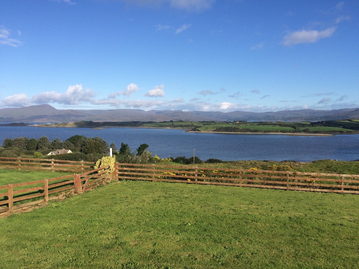 Man-made underground passage in Tullig (muskerry West By.)Man-made underground passage · 564 yd
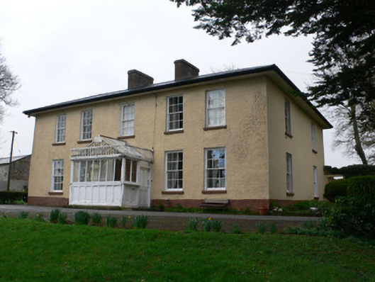 Tullig Househouse · 603 yd
 Man-made underground passageMan-made underground passage · 878 yd
 Quarry in LiscahaneQuarry · 1104 yd
 Millstreet Tourist InformationVisitor information · 1.2 mi
 Castle and TurretCastle, tower house · 1.2 mi
 St. Patrick's ChurchVisitor information · 1.2 mi
 Millstreet Museum & Tourist Information CentreMuseum · 1.3 mi
 RowanRowan · 1.6 mi
 Dromsicane Castle (in Ruins)Bawn · 2.0 mi
 Claragh MountainMountain / peak · 2.5 mi
 Rathcool WoodWood · 3.1 mi