What is recorded here
Lackabane held a quarter-mile circular fort above a sharp southern drop, but human hands or ploughs have erased the ridge. The deer park wall still marks the lost boundary, preserving the shape of what disappeared.
In pasture, on break in slope and above sharp fall of ground down to SW. Depicted as hachured circular enclosure (diam. c. 25m) on 1904 and 1936 OSmaps, bounded on S side by Deer Park wall, which remains standing. Levelled; no visible surface trace. Possibly one of four ringforts recorded in townland by Broker (1937, 49).
The above description is derived from the published 'Archaeological Inventory of County Cork. Volume 3: Mid Cork' (Dublin: Stationery Office, 1997). In certain instances the entries have been revised and updated in the light of recent research.
Date of upload/revision: 14 January 2009
The monument record does not grant public access. Check the route and ask the landowner before entering private land.
- What survives
- Recorded monument
Places near here
 Quarry in LiscahaneQuarry · 284 yd
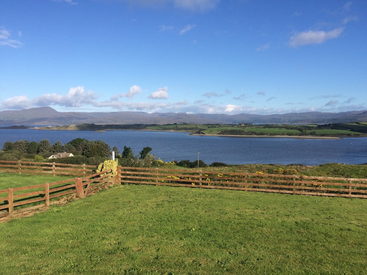 Man-made underground passage in Tullig (muskerry West By.)Man-made underground passage · 501 yd
 Lackabane Standing StoneArchaeological place · 706 yd
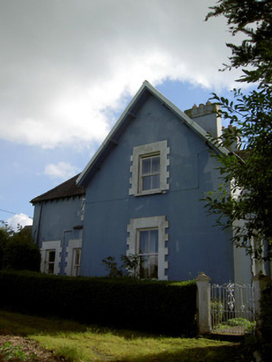 The Rectoryrectory/glebe/vicarage/curate's house · 756 yd
 Millstreet Tourist InformationVisitor information · 1210 yd
 St. Patrick's ChurchVisitor information · 1245 yd
 Millstreet Museum & Tourist Information CentreMuseum · 1326 yd
 Castle and TurretCastle, tower house · 1.1 mi
 RowanRowan · 1.2 mi
 Dromsicane Castle (in Ruins)Bawn · 1.7 mi
 Claragh MountainMountain / peak · 2.1 mi
 Rathcool WoodWood · 3.5 mi