What is recorded here
Lackabane held a hundred-and-twenty-six-foot ring with an eastern entrance and a hidden underground passage before modern ploughing erased the rampart. People built a five-foot fence on the old bank, treating the lost shape as a living boundary rather than a dead ruin. The earth swallowed the fort, but the fence and memory still trace its circle in the pasture.
In pasture. Depicted as hachured circular enclosure (diam. c. 30m) on 1842, 1904 and 1939 OS 6-inch maps. Levelled; no visible surface trace. Man-made underground passage (CO050-100002-) in interior. According to Hartnett (1939, 200) 'surrounded by a modern 5 foot fence, built on the old rampart. There is an entrance to the E. Diameter - 126 feet'.
The above description is derived from the published 'Archaeological Inventory of County Cork. Volume 3: Mid Cork' (Dublin: Stationery Office, 1997). In certain instances the entries have been revised and updated in the light of recent research.
Date of upload/revision: 14 January 2009
The monument record does not grant public access. Check the route and ask the landowner before entering private land.
- What survives
- Recorded monument
Places near here
 New TipperaryVisitor information · 548 yd
 Grave YardGraveyard · 806 yd
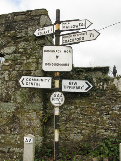 sign postsign post · 830 yd
 monumentmonument · 1136 yd
 Man-made underground passage in Gowlane SouthMan-made underground passage · 1207 yd
 Saint Bartholomew's WellSpring · 2.0 mi
 Ballyvodane Castle (in Ruins)Castle, unclassified · 2.9 mi
 Knockduff Wind FarmVisitor information · 3.1 mi
 Oldcastle WoodWood · 3.7 mi
 Lyradane MountainMountain / peak · 4.6 mi
 Carrignamuck Tower HouseCastle · 4.7 mi
 Bweeng LittleMountain / peak · 5.2 mi