What is recorded here
Lackabane holds a forty-metre earthen ring overlooking the Shournagh River valley, its two-metre bank marking a boundary older than human memory. Cattle now circle the interior through the southeast gap,trampling the stones that once resisted every invading army. The fort does not appear on modern charts because it belongs to the region itself, shaping the landscape rather than waiting for human recognition. What men forgot, the land remembered through every changing century.
In pasture, overlooking Shournagh River valley to N. Circular area (diam. 40.3m) enclosed by earthen bank (max. H 2m). Gap in bank to SE. Interior used as cattle enclosure. Surrounding field fences removed.
The above description is derived from the published 'Archaeological Inventory of County Cork. Volume 3: Mid Cork' (Dublin: Stationery Office, 1997). In certain instances the entries have been revised and updated in the light of recent research.
Date of upload/revision: 14 January 2009
The monument record does not grant public access. Check the route and ask the landowner before entering private land.
- What survives
- Recorded monument
Places near here
 farm housefarm house · 667 yd
 Lackabane LiosFairy fort / earthen ringfort · 745 yd
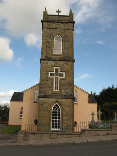 St Joesph's Roman Catholic Churchchurch/chapel · 1123 yd
 New TipperaryVisitor information · 1507 yd
 Grave YardGraveyard · 1.2 mi
 Ballyvodane Castle (in Ruins)Castle, unclassified · 1.8 mi
 Saint Bartholomew's WellSpring · 2.8 mi
 Lyradane MountainMountain / peak · 3.9 mi
 Oldcastle WoodWood · 4.0 mi
 Knockduff Wind FarmVisitor information · 4.1 mi
 Carrignamuck Tower HouseCastle · 4.6 mi
 Ballyanly Inniscarra Slí na SláinteWalking route · 4.8 mi