What is recorded here
Lackabane held a thirty-metre stone-faced ringfort with trees inside, visible on maps from 1842 until the twentieth century. Farmers eventually cut through the ancient bank to dig a slurry pit, erasing the fort while keeping its land for ordinary use. The fairy name suggests people once believed the circle belonged elsewhere, but the destruction reveals human hands changing the world without asking permission.
In modern farmyard. Depicted as hachured circular enclosure (diam. c. 30m) on 1842, 1904 and 1939 OS 6-inch maps. Hartnett (1939, 200) describes stone-faced earthen bank enclosing tree-planted interior. Largely destroyed; slurry pit built on site.
The above description is derived from the published 'Archaeological Inventory of County Cork. Volume 3: Mid Cork' (Dublin: Stationery Office, 1997). In certain instances the entries have been revised and updated in the light of recent research.
Date of upload/revision: 14 January 2009
A fairy fort or earthen ringfort in Lackabane, Muskerry East, is a likely early-medieval circular enclosure, evidenced by historical maps and partial stone-faced bank. It is associated with local folklore surrounding fairy realms, common in Irish tradition.
The monument record does not grant public access. Check the route and ask the landowner before entering private land.
- What survives
- Recorded monument
Places near here
 Man-made underground passage in Gowlane SouthMan-made underground passage · 680 yd
 monumentmonument · 951 yd
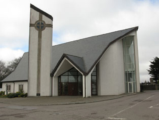 church/chapelchurch/chapel · 1012 yd
 New TipperaryVisitor information · 1045 yd
 Grave YardGraveyard · 1112 yd
 Saint Bartholomew's WellSpring · 1.9 mi
 Knockduff Wind FarmVisitor information · 2.8 mi
 Ballyvodane Castle (in Ruins)Castle, unclassified · 3.2 mi
 Oldcastle WoodWood · 3.7 mi
 Lyradane MountainMountain / peak · 4.8 mi
 Carrignamuck Tower HouseCastle · 4.9 mi
 Bweeng LittleMountain / peak · 5.0 mi