What is recorded here
Mud and memory collide in Cavan, where a thirty-eight metre circle still stands despite modern trenches cutting through its ancient boundary. The earth remembers the shape even when human tools erase the marker, suggesting fairness or fantasy depending on who asks. What is forgotten by measurement may be remembered by dream, yet the ring endures as a living wound in the field.
Raised circular area (int. diam. 38.8m) enclosed by a slight earthen bank best preserved from W-N-NE and a wide, shallow fosse identifiable only from SW-NNW and replaced by modern drainage trenches elsewhere. Original entrance not recognisable. From NNW-S-SW the site is encircled by a modern field boundary.
The above description is derived from the published 'Archaeological Inventory of County Cavan' (Dublin: Stationery Office, 1995). In certain instances the entries have been revised and updated in the light of recent research.
Date of upload/revision: 22 December 2008
The monument record does not grant public access. Check the route and ask the landowner before entering private land.
- What survives
- Recorded monument
Places near here
 Kilmount Presbyterian Churchchurch/chapel · 586 yd
 Holy WellHoly well · 1.1 mi
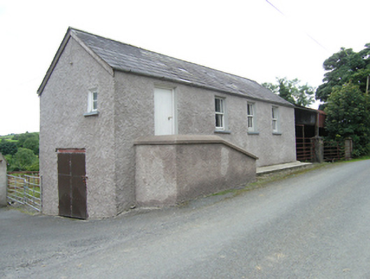 schoolschool · 1.3 mi
 CornanurneyMountain / peak · 1.3 mi
 Giants GraveArchaeological place · 1.4 mi
 Cornanurney ForestForest · 1.5 mi
 IndicatedFairy fort / earthen ringfort · 1.6 mi
 DrumbinnisMountain / peak · 2.2 mi
 Graveyard in Drumgoon (clankee By.)Graveyard · 2.3 mi
 Carrickallen ForestForest · 2.8 mi
 CastleCastle, unclassified · 3.7 mi
 Site of Old CastleCastle, unclassified · 3.9 mi