What is recorded here
Labbacallee is a field with a hidden circle. A farm hand may have stood inside that circle, watched the sun rise over the eastern slope, and known the fort without ever calling it a fort. The boundary changed, the circle disappeared under soil and grass, and the fort became a story about fairness and loss.
In tillage, on gentle E-facing slope. Depicted as hachured circular enclosure (diam. c. 40m) on 1842, 1906 and 1934 OS 6-inch maps. Levelled; circular area (c. 30m N-S) defined by low rise (H 0.3m) except to W, where incorporated into field boundary system. Field boundary heavily overgrown and inaccessible.
The above description is derived from the published 'Archaeological Inventory of County Cork. Volume 4: North Cork' (Dublin: Stationery Office, 2000). In certain instances the entries have been revised and updated in the light of recent research.
Date of upload/revision: 14 January 2009
The monument record does not grant public access. Check the route and ask the landowner before entering private land.
- What survives
- Recorded monument
Places near here
 Labbacallee Househouse · 588 yd
 LabbacalleeWedge tomb · 911 yd
 Woodfort Househouse · 981 yd
 Enclosure in Sheepwalk WestEnclosure · 1350 yd
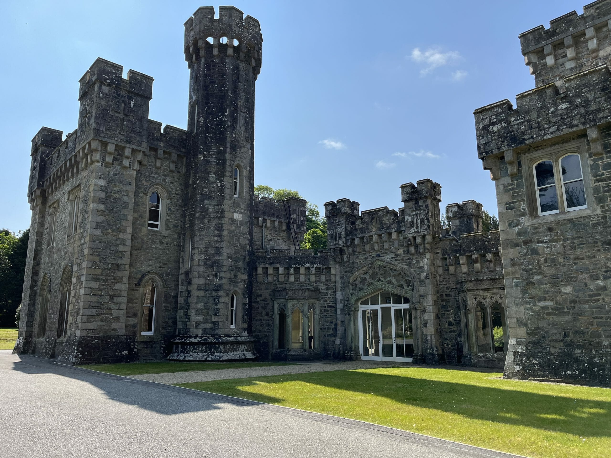 CastleCastle, unclassified · 1663 yd
 GarraunigerinaghCastle(inRuins) (1936)*Castle, tower house · 1.6 mi
 St Dominick's WellSpring · 1.7 mi
 Graveyard in BoherashGraveyard · 1.7 mi
 Johnson's WoodForest · 3.5 mi
 Blackwater (Avondhu) WayWalking route · 3.6 mi
 Priest's WoodForest · 3.8 mi
 Cappagh XViewpoint · 4.2 mi