What is recorded here
In level wet pasture. Circular raised area (diam. c. 20m) defined by an internal earthen bank (overall Wth c. 4.5m; Wth at top c. 1m; int. H c. 0.2m; ext. H c. 1.6m) with an external fosse. An E-W orientated modern field bank links to the bank at E. From S-N the fosse has been re-cut as a field drain that is silted up S-W and freshly cleaned (Wth at top 3m; D 1.4m) W-N. Slight traces of the fosse are visible N-S. An E-W orientated modern field drain links to the re-cut fosse at W. The original entrance is not recognisable. The interior is level and densely overgrown with bushes and briars.
Compiled by: Jean Farrelly
Date of upload: 26 August 2011
The monument record does not grant public access. Check the route and ask the landowner before entering private land.
- What survives
- Recorded monument
Places near here
 Enclosure in Kyle (solloghodbeg Par.),newtown (solloghodbeg Par.)Enclosure · 492 yd
 Enclosure in Carron (solloghodbeg Par.),kyle (solloghodbeg Par.)Enclosure · 699 yd
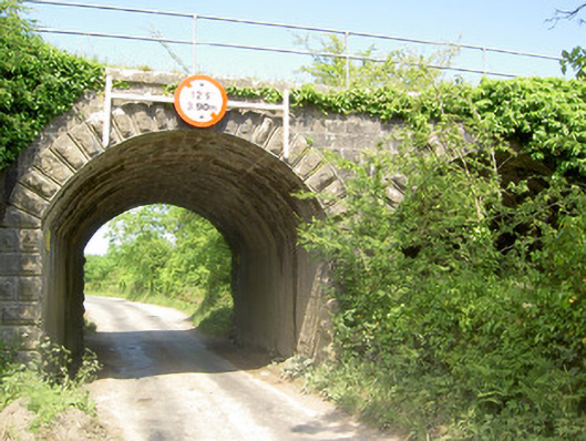 bridgebridge · 1154 yd
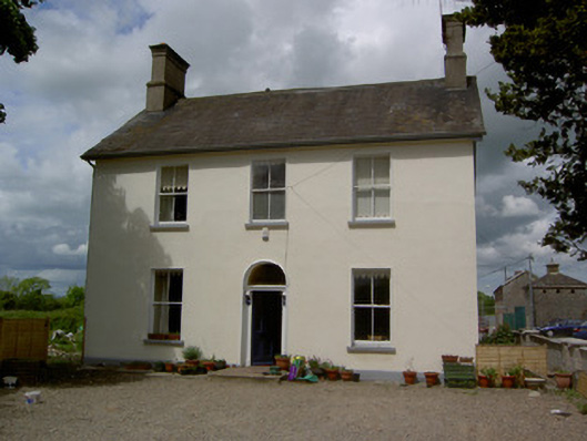 Limerick Junction Railway Stationstation master's house · 1667 yd
 Soloheadbeg Ambush SiteMemorial · 1707 yd
 Soloheadbeg Ambushambush · 1.3 mi
 CastleCastle, ringwork · 1.8 mi
 MoatCastle, motte and bailey · 2.2 mi
 The Maid of ErinMemorial · 2.8 mi
 Oola HillMountain / peak · 2.9 mi
 European ashEuropean ash · 4.1 mi
 Bansha ForestForest · 5.6 mi