What is recorded here
Fairy forts are no such thing. They are human rings, built and abandoned, later renamed because people stopped remembering the hands that dug them. In Kyle the ring has been levelled into flat boggy land, leaving only a shallow east-west rise and faint undulations to mark its edge. A field fence still cuts across the middle, dividing what may have been a doorway, a yard or a living space. The fairness is not in the story, but in the temptation to escape the human effort it took to build the place.
On flat boggy land. Levelled; circular area (diam. c. 34m) defined by low rise E->W (H 0.6m); undulations elsewhere indicate line of bank. Bisected by E-W field fence.
The above description is derived from the published 'Archaeological Inventory of County Cork. Volume 2: East and South Cork' (Dublin: Stationery Office, 1994). In certain instances the entries have been revised and updated in the light of recent research.
Date of upload/revision: 14 January 2009
The monument record does not grant public access. Check the route and ask the landowner before entering private land.
- What survives
- Recorded monument
Places near here
 IndicatedFairy fort / earthen ringfort · 1326 yd
 Aghancoustha Bridgebridge · 1.3 mi
 Burgess Cottagehouse · 1.4 mi
 Kilnatoora CastleCastle, tower house · 1.5 mi
 Castle (in Ruins)Castle, tower house · 1.5 mi
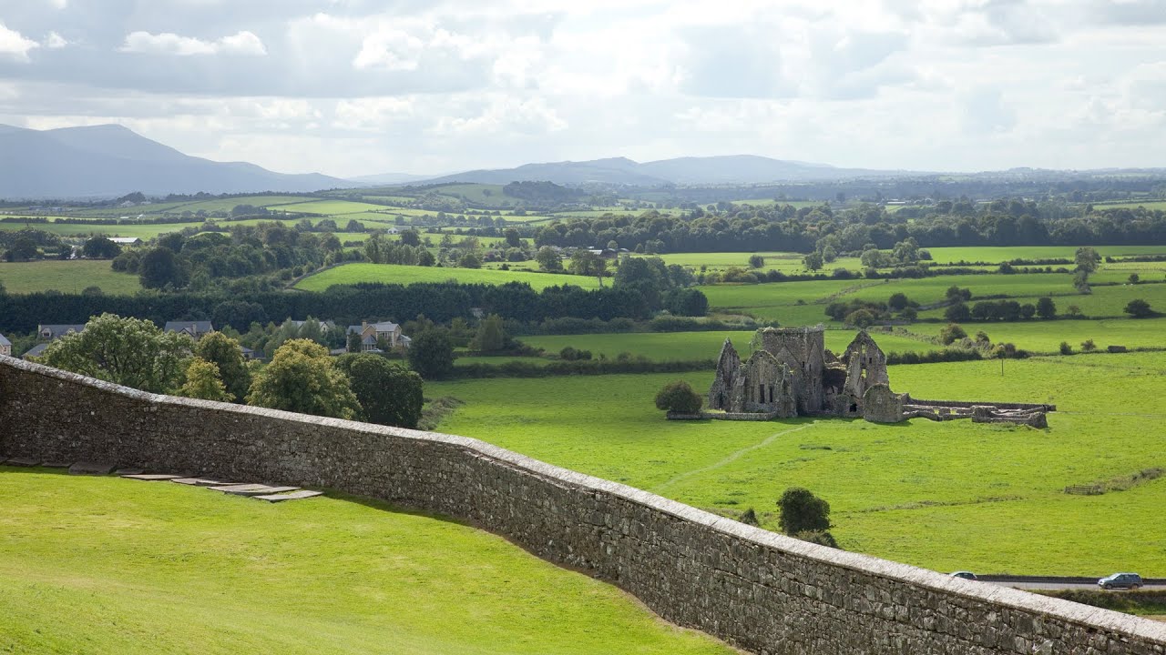 Burnt mound in Killea (coshmore and Coshbride By.)Burnt mound · 1.8 mi
 Historical Graveyard InformationVisitor information · 2.9 mi
 Fainin's WellSpring · 3.0 mi
 Glebe IslandIslet · 3.2 mi
 Youghal Foxhole Loop walkWalking route · 3.3 mi
 Ringcrew WoodForest · 3.3 mi
 Glenbower WoodForest · 3.3 mi