What is recorded here
Knockroe holds a twenty-four-metre earthen ring on a gentle slope above Dunmanus Bay, marking one of West Cork's oldest inhabited landscapes. People may have lived there before written history, watching ships or herding animals across the pasture. The landowner later claimed two hidden chambers appeared in the west quadrant during excavation in 1983, though soil now covers that mystery again. The fort still stands as a quiet edge between human memory and forgotten time.
In pasture on gentle N-facing slope overlooking Dunmanus Bay. Circular area (24m N-S; 24m E-W) enclosed W->E by earth and stone field-fence (int. H 1.2m) W->E; scarp with external stone facing (H 1m) to S. Trees planted on N and W fences. According to landowner two underground chambers (CO138-023---) exposed in W quadrant in 1983; now backfilled.
The above description is derived from the published 'Archaeological Inventory of County Cork. Volume 1: West Cork' (Dublin: Stationery Office, 1992). In certain instances the entries have been revised and updated in the light of recent research.
Date of upload/revision: 14 January 2009
The monument record does not grant public access. Check the route and ask the landowner before entering private land.
- What survives
- Recorded monument
Places near here
 Man-made underground passage in Knockroe (carbery West (w.d) By., Kilcrohane, Par.)Man-made underground passage · 1 yd
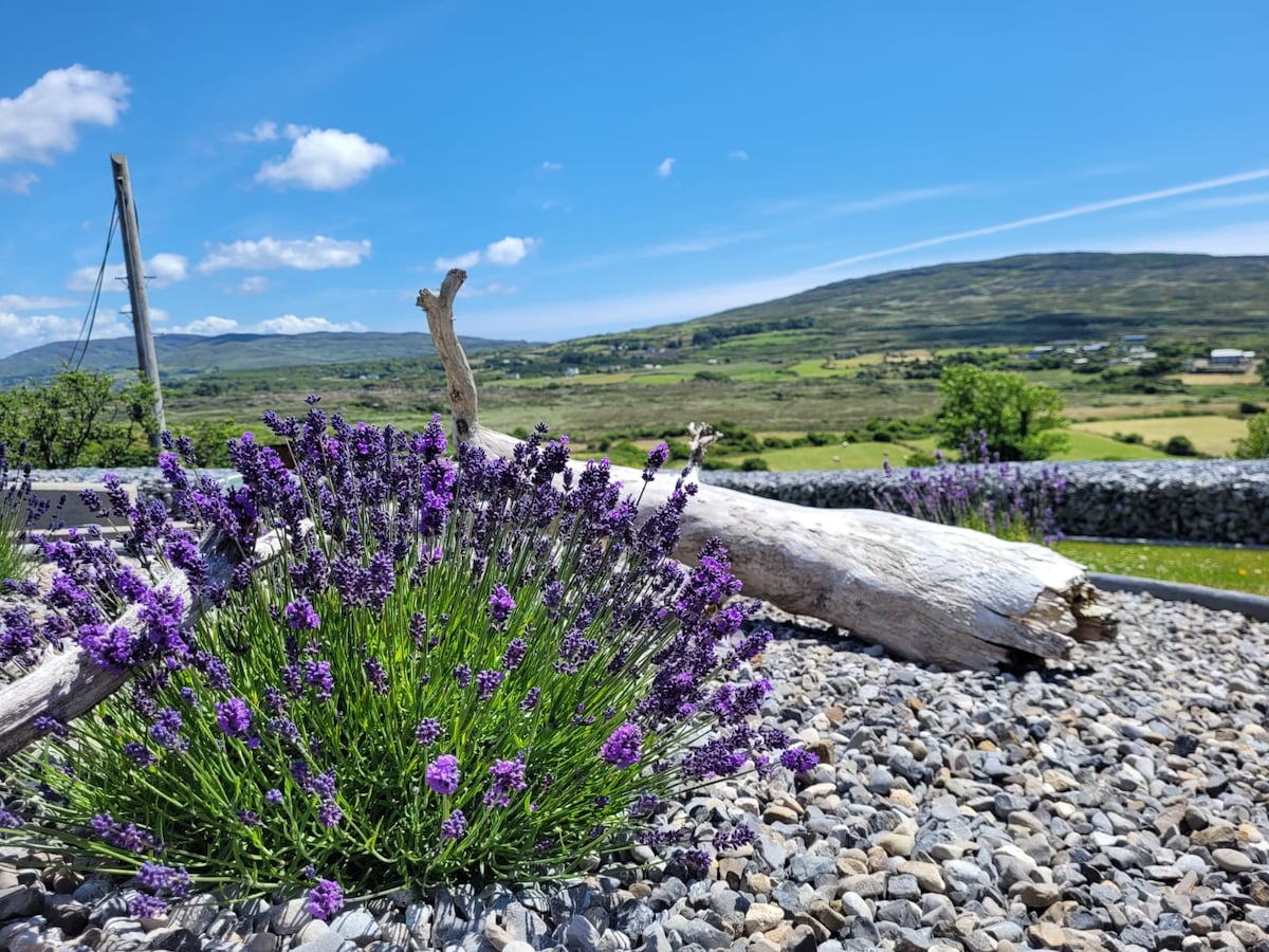 Hut site in Dooneen (carbery W. (w.d.) By.)Hut site · 995 yd
 Dooneen Island LoopWalking route · 1233 yd
 Sheep's Head - Peakeen Ridge Linear WalkWalking route · 1403 yd
 Caher MountainMountain / peak · 1.0 mi
 surgery/clinicsurgery/clinic · 1.1 mi
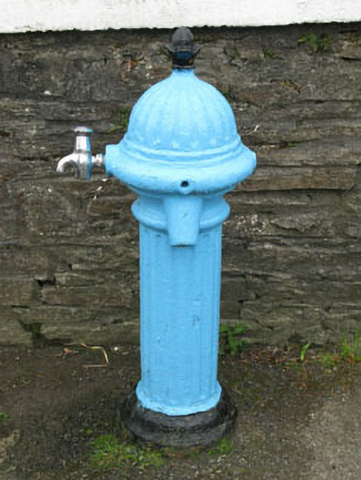 water pumpwater pump · 1.2 mi
 Nora DaltonMemorial · 1.3 mi
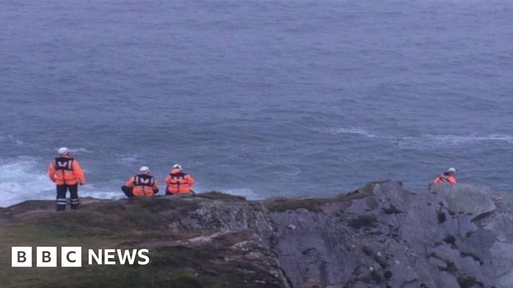 Drowning in Dunmanus BayMemorial · 1.5 mi
 Stone RowHeritage attraction · 1.7 mi
 Finn McCool's SeatViewpoint · 1.8 mi
 Dunmanus BayBay · 2.1 mi