What is recorded here
Knockraha East held a thirty-five metre earthen ring on a sun-warmed slope, large enough to exclude rain from a central hearth and tall enough to define a household against the open countryside. That much structure suggests people lived there, loved there and lost there, even though soil and plough have erased the ridge. The fairies keep the shape in names while human hands return it to grass.
In pasture, on SW-facing slope. Shown on 1842 OS 6-inch map as circular enclosure (diam. c. 35m). Levelled; no visible surface trace. Levelled enclosure (CO064-029---) c. 90m to N.
The above description is derived from the published 'Archaeological Inventory of County Cork. Volume 2: East and South Cork' (Dublin: Stationery Office, 1994). In certain instances the entries have been revised and updated in the light of recent research.
Date of upload/revision: 14 January 2009
The monument record does not grant public access. Check the route and ask the landowner before entering private land.
- What survives
- Recorded monument
Places near here
 Enclosure in Knockraha EastEnclosure · 161 yd
 Gleeson MemorialMemorial · 1528 yd
 Enclosure in KilleenaEnclosure · 1628 yd
 Ballingohig Bridgebridge · 1.1 mi
 Ashtongrovecountry house · 1.5 mi
 Carberrytown WoodWood · 2.6 mi
 Old Court (Site of)Castle, unclassified · 3.0 mi
 Castle (Site of)Castle, unclassified · 3.0 mi
 Glanmire Heritage SocietyMemorial · 4.9 mi
 Cork WalksVisitor information · 5.5 mi
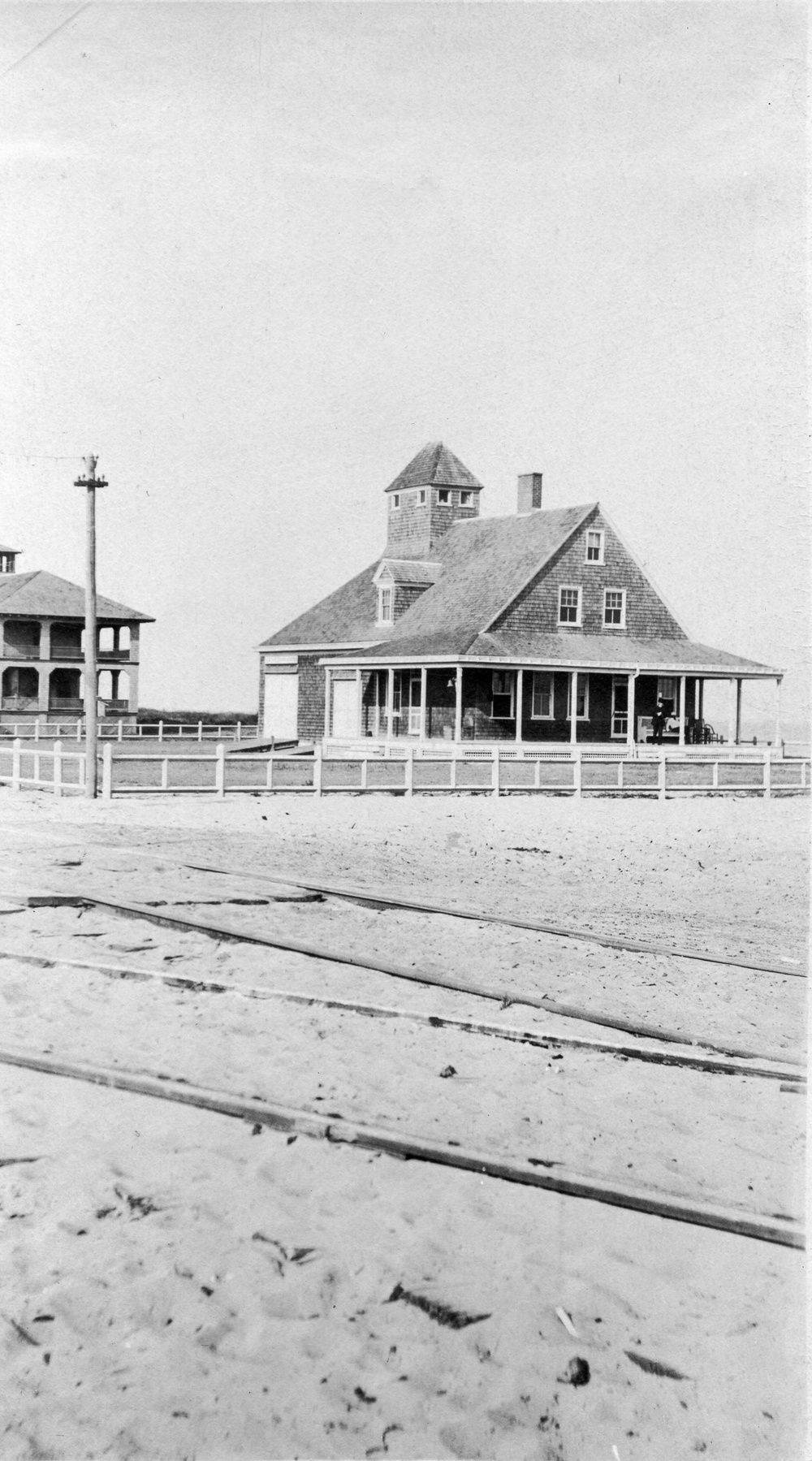 Old coast guard station ruinRuins · 5.8 mi
 ToberkilquaneHoly well · 1708 yd