What is recorded here
Fairy fort / earthen ringfort in Knockphelagh is a fairy fort or earthen ringfort in Knockphelagh, County Tipperary, Ireland. It occupies flat, poorly drained marshy terrain with good views in all directions. A raised circular area, measuring 18 metres north-south and 21 metres east-west, is enclosed by an earthen bank and an external ditch. The bank stands 1 metre high externally and 0.3 to 0.6 metres high internally, with a top width of 2 metres and a base width of 5 metres.
On flat poorly drained marshy terrain with good views in all directions. A raised circular area (diam. 18m N-S; 21m E-W) enclosed by an earthen bank (top Wth 2m; base Wth 5m; ext. H 1m; int. H 0.3m-0.6m) and external fosse (Wth 3m; ext. D 0.35m), which was waterlogged at the time of inspection, with an entrance gap (Wth 2.75m) at the E. The enclosing bank is intersected by a field boundary at the W on a N-S axis.
Compiled by: Jean Farrelly
Date of upload: 26 August 2011
The monument record does not grant public access. Check the route and ask the landowner before entering private land.
- What survives
- Recorded monument
Places near here
 IndicatedCastle, unclassified · 648 yd
 BarrowBarrow, ring-barrow · 811 yd
 Enclosure in KnockphelaghEnclosure · 954 yd
 Longford Castle (in ruins)Castle, unclassified · 1184 yd
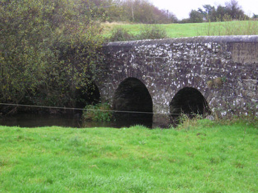 Longford Bridgebridge · 1.2 mi
 Oola HillMountain / peak · 1.7 mi
 Shanaclough Househouse · 1.7 mi
 ToberagaddySpring · 4.6 mi
 St. Patrick's WellSpring · 7.5 mi
 Kilteely HillMountain / peak · 7.7 mi
 Killarragon Burial GroundChildren's burial ground · 1.2 mi
 CastleCastle, ringwork · 1.2 mi