What is recorded here
Knockogonnell holds a broken ring of earth forty-eight metres wide, its outer bank surviving only from the south through the west to the northwest. The missing sections do not read as abandonment but as transformation, where ordinary soil released its human shape and joined the wider fantasy life of North Galway. A fort becomes a fairy fort when people stop expecting walls to obey human limits.
On a rise in grassland. Very poorly preserved subcircular rath (NE-SW 48m, NW-SE 44m) defined by a degraded scarp, intervening fosse and outer bank which is present only from S through W toNW.
The above description is derived from the published 'Archaeological Inventory of County Galway Vol. II - North Galway'. Compiled by Olive Alcock, Kathy de hÓra and Paul Gosling (Dublin: Stationery Office, 1999).
Date of upload: 05 August 2010
The monument record does not grant public access. Check the route and ask the landowner before entering private land.
- What survives
- Recorded monument
Places near here
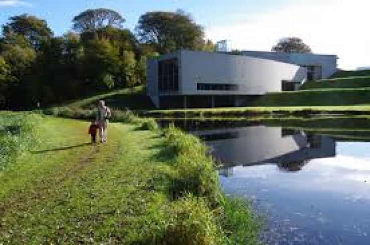 Enclosure in Knockogonnell,turlough (ballymoe By.)Enclosure · 802 yd
 Enclosure in KnockogonnellEnclosure · 1158 yd
 Penal Mass station in KilcooleyPenal Mass station · 1443 yd
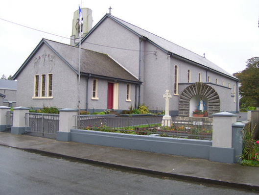 Saint Croan's Catholic Churchchurch/chapel · 1.0 mi
 Site of Ballyglass CastleCastle, unclassified · 1.5 mi
 Site of Killomaine Grave YardArchaeological place · 2.0 mi
_-_geograph.org.uk_-_1952978.jpg?width=1280) Bawn in Glinsk (ballymoe By.)Bawn · 2.5 mi
Bawn in Glinsk (ballymoe By.)Bawn · 2.5 mi Rook HillMountain / peak · 3.1 mi
 HawthornHawthorn · 5.3 mi
 Coolougher WoodForest · 6.1 mi
 Mount MaryMountain / peak · 8.3 mi
 Sally IslandIslet · 9.6 mi