What is recorded here
Knocknamucklagh holds a fifty-metre circular fort on a gentle east-facing slope, marked by a low earthen bank and a hidden underground passage in the north. The gap on the east-southeast reveals an inner bank stretching twenty-four metres toward the centre, suggesting deliberate layout rather than random decay. Cattle still move through the pasture above these ancient lines, unaware that human hands shaped the soil long before wheels or roads touched the area.
In pasture, on gentle E-facing slope, 250m E is ringfort (MA117-037----). Circular area (52m N-S; 50m E-W), enclosed by low earthen bank (H 0.9m) SE to E, heavily overgrown on the E. Gap on ESE where enclosing bank turns W to run towards the interior for 24m. Man-made underground passage (MA117-036002-) in N.
The above description has been derived from D. Lavelle (compiler), An Archaeological Survey of Ballinrobe and District including Lough Mask and Lough Carra. Lough Mask and Lough Carra Tourist Development Association (1994), No. 184.
Date of upload: 7 November 2013
The monument record does not grant public access. Check the route and ask the landowner before entering private land.
- What survives
- Recorded monument
Places near here
 Enclosure in KnocknamucklaghEnclosure · 328 yd
 Loughmask CastleCastle · 689 yd
 Loughmask Castle in ruinsCastle, tower house · 694 yd
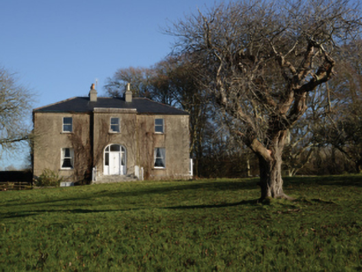 Loughmask Househouse · 754 yd
 IndicatedEnclosure · 850 yd
 Ballinchalla Church in ruinsChurch · 891 yd
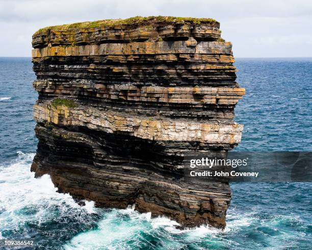 Long RockIslet · 1.1 mi
 Long IslandIslet · 1.2 mi
 LabbadermotCave · 1.6 mi
 Black RocksNamed rock · 2.2 mi
 European ashEuropean ash · 3.1 mi
 Devenish RocksNamed rock · 3.2 mi