What is recorded here
Knocknamona held a circular fort roughly fifty metres across, visible on maps from 1842 to 1936 before becoming indistinguishable from ordinary field fences. It stood atop a hillock in pasture, likely guarding a boundary or housing a small household rather than serving as a fairy palace. The earth has since levelled the rampart, erasing the shape that once defined the land. What remains is a faint line in the soil, waiting for someone to walk it and remember it was made by human hands.
In pasture, atop hillock. Depicted as hachured circular enclosure on 1842 (diam. c. 50m), 1905 and 1936 (diam. c. 35m) OS 6-inch maps. Levelled; earthen townland boundary skirts site to E, similar to surrounding field fences. Site shown as incorporating townland boundary on 1842 OS 6-inch map; shown to W of boundary fence on 1905 and 1936 OS 6-inch maps. Probably single-ramparted ringfort (diam. c. 47yd) recorded by Bowman (1934, 592) on T. Buckley's land.
The above description is derived from the published 'Archaeological Inventory of County Cork. Volume 4: North Cork' (Dublin: Stationery Office, 2000). In certain instances the entries have been revised and updated in the light of recent research.
Date of upload/revision: 14 January 2009
The monument record does not grant public access. Check the route and ask the landowner before entering private land.
- What survives
- Recorded monument
Places near here
 IndicatedEnclosure · 442 yd
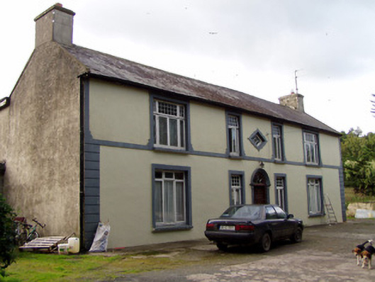
 BoherbrádaghRoad, road/trackway · 1308 yd
 Church (Site of)Church · 1387 yd
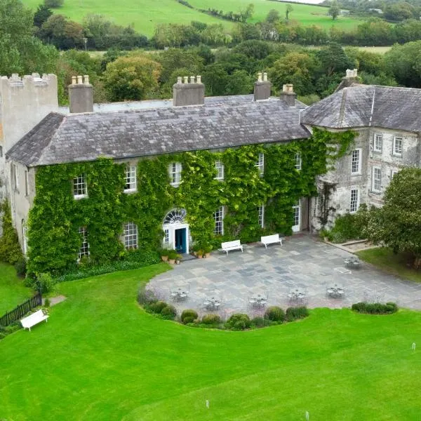
 Aldworth Househouse · 1507 yd
 Dromaneen CastleHeritage attraction · 1.7 mi
 In loving memory of Elvis O'DonoghueMemorial · 3.0 mi
 Mallow Castle RuinRuins · 3.6 mi
 CastleBawn · 4.5 mi
 Mount Hillary - Knightfield LoopWalking route · 6.0 mi
 Graveyard in Ballygiblin (duhallow By.)Graveyard · 6.0 mi
 Mount Hillary - Mount Hillary LoopWalking route · 6.1 mi
 Eagle's NestMountain / peak · 6.5 mi