What is recorded here
Fairy fort / earthen ringfort in Knocknahur South is a fairy fort or earthen ringfort in Knocknahur South, County Sligo, Ireland. It occupies a local highpoint in undulating improved pastureland with views onto Knocknarea and the Ox Mountains. The oval enclosure measures twenty metres north-south and fifteen metres east-west, defined by a bank one point two metres wide and thirty centimetres high. A modern field wall covers the bank in the east and northeast.
Located on a local highpoint in undulating improved pastureland with views onto Knocknarea and the Ox Mountains. Comprises an oval enclosure (L 20m N-S, Wth 15m E-W). This is defined by a a bank (Wth 1.20m, H 0.30m). In the E and NE the bank is covered by a modern field wall.
Compiled by : Geraldine Stout
Date of upload: 13 August 2013
The monument record does not grant public access. Check the route and ask the landowner before entering private land.
- What survives
- Recorded monument
Places near here
 IndicatedEnclosure · 411 yd
 Enclosure in BreeogeEnclosure · 674 yd
 Kiln in BreeogeKiln · 936 yd
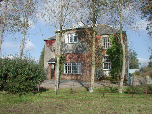 Breeoge Househouse · 1104 yd
 Carrowmore Visitors CentreVisitor information · 1512 yd
 Carrowmore Megalithic CemeteryHeritage attraction · 1702 yd
 CarrigeenfaddaIslet · 1.3 mi
 Castle (in Ruins)Castle, unclassified · 1.3 mi
 The GlenWood · 1.6 mi
 CastleCastle, unclassified · 1.8 mi
 Knocknarea trailWalking route · 1.9 mi
 KnocknareaMountain / peak · 2.2 mi