
What is recorded here
Listed as a kiln in the SMR (1989) and the RMP (1995). Located ' W. of Roddys House. Structure 80 paces west of the Rd. west of gable of Roddy's House, and then, 12 paces idrectly north. On south side of the wall. It now contains some slabs. It is circular and tapers like a bucket. It is 4' 3" wide at the mouth and is circular. It is built of small slabs' (Pers comm. Martin Timoney). This site has since been removed.
Compiled by: Geraldine Stout
Date of upload: 18 November 2013
The monument record does not grant public access. Check the route and ask the landowner before entering private land.
- What survives
- Recorded monument
Places near here
 Enclosure in KilmacowenEnclosure · 781 yd
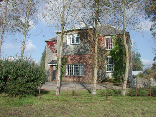 Breeoge Househouse · 849 yd
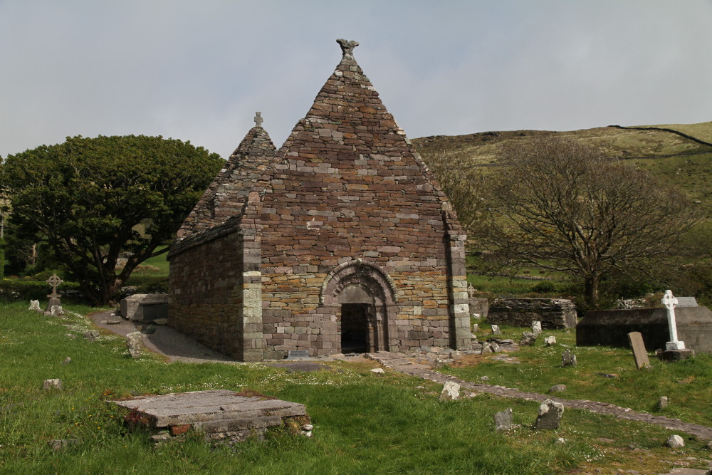 Kilmacowen Church (in Ruins)Church · 981 yd
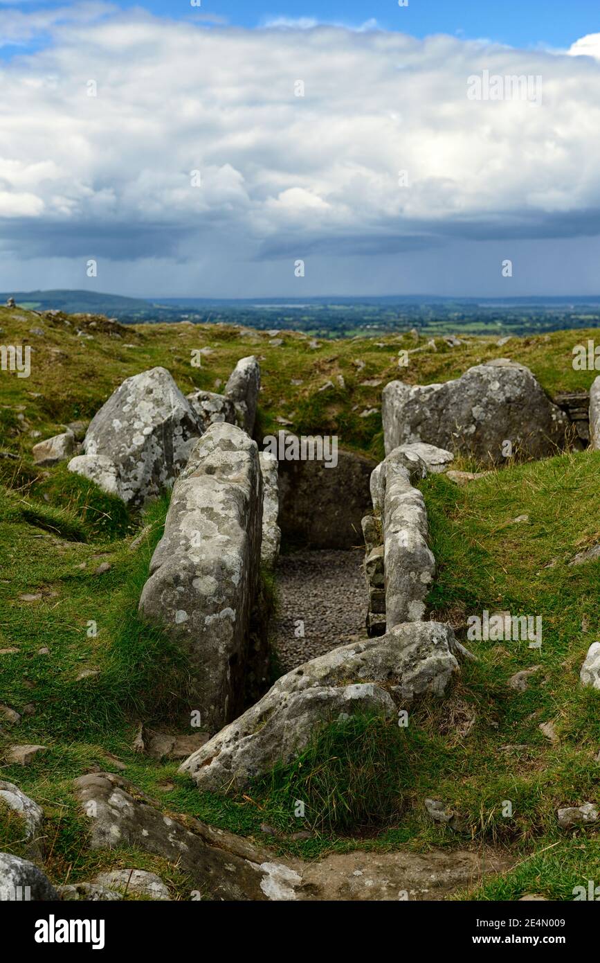 Ritual siteRitual site, holy/saint's stone · 1010 yd
 CarrigeenfaddaIslet · 1759 yd
 Carrowmore Visitors CentreVisitor information · 1.4 mi
 CastleCastle, unclassified · 1.4 mi
 Carrowmore Megalithic CemeteryHeritage attraction · 1.5 mi
 Castle (in Ruins)Castle, unclassified · 1.6 mi
 The GlenWood · 1.8 mi
 RinnatalleenHeadland · 2.1 mi
 Knocknarea trailWalking route · 2.2 mi
Other information
Photo: Credit not shown in the picture search · Rights wording not checked; contact us if this picture should be removed