
What is recorded here
This site was identified on aerial photography (OS 1 3311-2; ACP V203/114-5). It appears as an oval enclosure inside a larger enclosure. The site has since been removed leaving no surface remains.
Compiled by: Geraldine Stout
Date of upload: 22 October 2013
A local fairy fort (ringfort/rath); wider significance not recorded.
The monument record does not grant public access. Check the route and ask the landowner before entering private land.
- What survives
- Recorded monument
Places near here
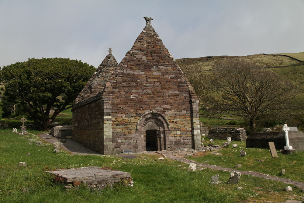 Kilmacowen Church (in Ruins)Church · 229 yd
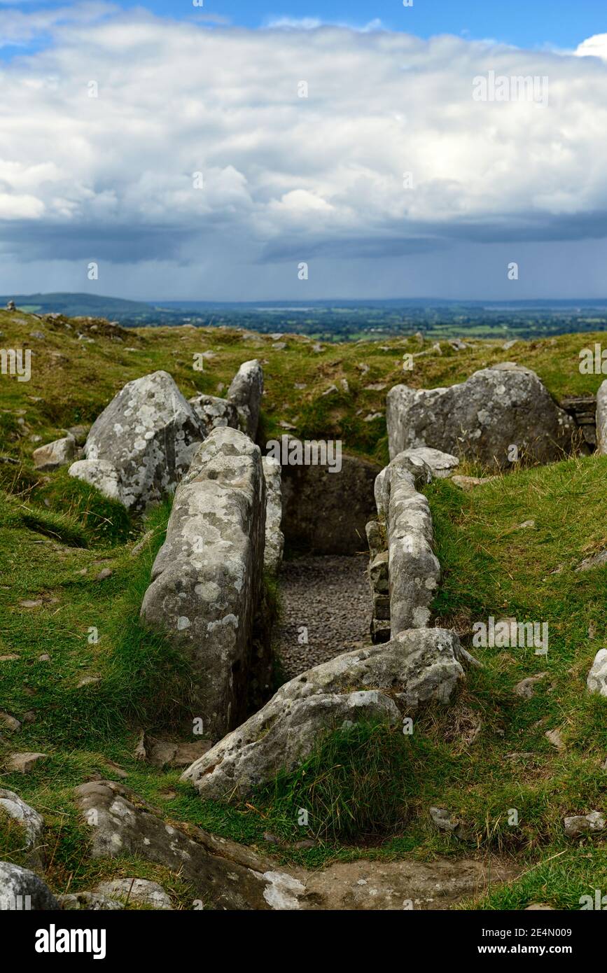 Ritual siteRitual site, holy/saint's stone · 236 yd
 Tober PatrickHoly well · 251 yd
 Kiln in BreeogeKiln · 781 yd
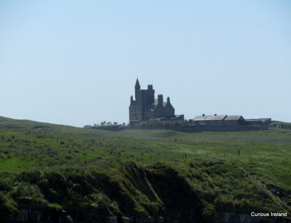 CastleCastle, unclassified · 1.1 mi
 Carrowmore Visitors CentreVisitor information · 1.2 mi
 Carrowmore Megalithic CemeteryHeritage attraction · 1.3 mi
 CarrigeenfaddaIslet · 1.4 mi
 Castle (in Ruins)Castle, unclassified · 1.9 mi
 The GlenWood · 2.1 mi
 Union RockMountain / peak · 2.4 mi
 Knocknarea trailWalking route · 2.5 mi
Other information
Photo: Credit not shown in the picture search · Rights wording not checked; contact us if this picture should be removed