What is recorded here
Knocknagranshy holds a thirty-metre earthen ring on an east-facing slope, watching the land while leaving the south hidden from view. People built stone revetting along part of the bank and cut a narrow fosse outside it, shaping a small defensive or domestic place rather than an empty fairy tale. The church and graveyard stand only one hundred and sixty metres away, suggesting human life has circled this spot for generations. Grass and shadow have since softened the edge, but the circle still resists forgetting.
In elevated pasture on slight E-facing slope with excellent views in all directions except to S. Knocknagranshy Church (LI022-117001-) and graveyard (LI022-117002-) 160m to S. Surveyed by the ASI in 2000 when described as a raised circular shaped area (diam. 30m) defined by a bank mainy reduced to a scarped edge (H 0.6m), which has stone revetting visible from S to NW, and an external fosse (Wth 2.8m; D 0.4m). A field boundary runs along the outer edge of fosse from NE to SE while a remnant field boundary intersects the monument at S. The interior is level and densely overgrown as shown on Google Earth orthoimage taken 14/02/2020.
See attached Google Earth orthoimage
Compiled by: Martin Fitzpatrick
Date of upload: 31 July 2020
A fairy fort or earthen ringfort in Knocknagranshy is a circular earthen enclosure likely dating to the early medieval period, associated with both ancient settlement and later folklore surrounding fairies. It is situated near Knocknagranshy Church and graveyard, with the site surveyed by the Archaeological Survey of Ireland in 2000.
The monument record does not grant public access. Check the route and ask the landowner before entering private land.
- What survives
- Recorded monument
Places near here
 Grave YardGraveyard · 209 yd
 Toberlaghteen Holy WellHoly well · 650 yd
 European ashEuropean ash · 657 yd
 Water millWater mill, horizontal-wheeled · 749 yd
 Castle (in ruins)Castle, hall-house · 1023 yd
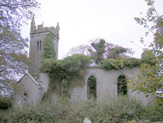 Ballycahane Churchchurch/chapel · 1134 yd
 Monasteranenagh AbbeyHeritage attraction · 1.8 mi
 Bawn in Rathmore NorthBawn · 1.8 mi
 Villiers WellSpring · 2.2 mi
 Biodiversity in the Maigue CatchmentVisitor information · 2.7 mi
 Dysert AenghusaHeritage attraction · 3.6 mi
 Lebanon CedarLebanon Cedar · 4.9 mi