What is recorded here
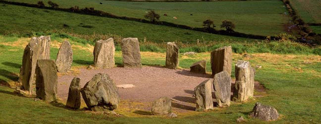
Knocknageehy holds a thirty-two metre earthen ring on a south-facing slope, its shallow scarp still marking the boundary between human ambition and natural recovery. Cultivation ridges cut across the interior like forgotten muscle strands, suggesting repeated hands shaped the soil before pasture swallowed the purpose. The fort resists easy explanation because it remains visible enough to measure yet quiet enough to overlook.
In pasture, on S-facing slope. Circular area (32m E-W) defined by scarp (H 1.9m) E-W. Cultivation ridges cross interior on N-S axis.
The above description is derived from the published 'Archaeological Inventory of County Cork. Volume 1: West Cork' (Dublin: Stationery Office, 1992). In certain instances the entries have been revised and updated in the light of recent research.
Date of upload/revision: 14 January 2009
The monument record does not grant public access. Check the route and ask the landowner before entering private land.
- What survives
- Recorded monument
Places near here
 Childrens Burial Gd (Disused)Burial ground · 539 yd
 Castle Freke WoodsForest · 779 yd
 demesne walls/gates/railingsdemesne walls/gates/railings · 807 yd
 Man-made underground passage in Carrigroe (ibane and Barryroe By.)Man-made underground passage · 999 yd
 Church in Carrigroe (ibane and Barryroe By.)Church · 1065 yd
 Sitka SpruceSitka Spruce · 1088 yd
 Cottage MuseumMuseum · 1363 yd
 Bawn in CastlefrekeBawn · 1.0 mi
 Lord Carbery's Cross TrailWalking route · 1.1 mi
 Little Island StrandBeach / strand · 1.4 mi
 Galley Head ViewViewpoint · 1.4 mi
 Ownahincha Strand (West)Beach / strand · 1.5 mi