What is recorded here
Three ringforts belong to Knocknagapple, though only two remain visible and the third has vanished from human memory. Bateman marked all three in 1716, placing the lost one at the townland's heart as if it were still obvious to anyone walking past. The earth may have swallowed it, or people may have simply stopped seeing what they no longer needed to remember.
Symbol on Bateman map (1716-1717, no. 58) for three ringforts in townland, two of which are known (4920 and 4569); third depicted in centre of townland; exact location not known.
The above description is derived from the published 'Archaeological Inventory of County Cork. Volume 2: East and South Cork' (Dublin: Stationery Office, 1994). In certain instances the entries have been revised and updated in the light of recent research.
Date of upload/revision: 14 January 2009
The monument record does not grant public access. Check the route and ask the landowner before entering private land.
- What survives
- Recorded monument
Places near here
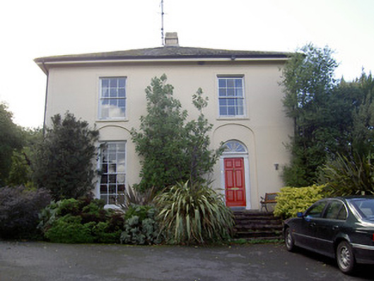 Brideweir Houserectory/glebe/vicarage/curate's house · 582 yd
 Aghern CastleCastle · 821 yd
 Country house in Aghern WestCountry house · 846 yd
 St Bridgets WellHoly well · 882 yd
 Aghern CemeteryWood · 912 yd
 Folacht FiadhFulacht fia · 1236 yd
 Castle (in Ruins)Castle, tower house · 1490 yd
 Castlebrook forestWood · 2.6 mi
 Coole WellVisitor information · 2.7 mi
 Graveyard in Curraheen (kinnatalloon By.)Graveyard · 3.2 mi
 Graveyard in KillasseraghGraveyard · 3.3 mi
 Pope's WellSpring · 3.8 mi