What is recorded here
Knocknagapple holds a D-shaped earthen fort clinging to the edge of a six-metre precipice, where a farm road still scrapes past its eastern scarp. The straight northern boundary is not a wall but a sudden drop into shadow, suggesting the builders trusted the cliff as much as their own labour. A 1773 map called it a Danish Fort, yet no invasion is recorded there; the name may be merely a guess born of distance. The earth rises two metres at the east and melts to a ridge at the west, shaping a space that could have held a household, a hermit, or a child imagining a fortress.
In an overgrown fallow area of a field at the edge of a steep precipice. Indicated as a circular 'Danish Fort' a 1773-4 map (no. 23) by B. Scalé (NLI MSS 7216-18). The remains consist of a raised D-shaped area (12.5m N-S), with the straight side at N (L 19m), defined by a scarp E-W. The height of the scarp varies between 0.35m and c. 2m, being highest towards the E. On the straight N side the rath is defined by a steep precipice (H c. 6m) that drops down to a valley floor. The interior slopes gently down to the N. There is a N-S farm roadway immediately to the E of the rath.
The above description is derived from 'The Archaeological Inventory of County Cork. Volume 5' (Dublin: Stationery Office, 2009).
Date of upload: 22 December 2009
The monument record does not grant public access. Check the route and ask the landowner before entering private land.
- What survives
- Recorded monument
Places near here
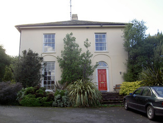 Brideweir Houserectory/glebe/vicarage/curate's house · 380 yd
 Aghern CastleCastle · 596 yd
 Aghern Housecountry house · 622 yd
 St Bridgets WellHoly well · 628 yd
 Aghern CemeteryWood · 1016 yd
 Enclosure in Aghern EastEnclosure · 1168 yd
 Castle (in Ruins)Castle, tower house · 1229 yd
 Coole WellVisitor information · 2.5 mi
 Graveyard in KillasseraghGraveyard · 3.5 mi
 Pope's WellSpring · 3.7 mi
 Strawhall WoodForest · 4.8 mi
 Rathcormac massacremassacre · 5.0 mi