What is recorded here
Fairy forts are earthen rings people avoided because they believed the displaced fairies would curse the digger. Knocknaclassagh keeps that warning intact: a grass-covered circle, shallow ditch, and broken bank on a steep slope in Glencar valley. It is not a grand castle or a mysterious alien shape. It is a small defensive or boundary marker that became dangerous in the imagination, and the imagination preserved it.
Towards the bottom of a steep N-facing slope in Glencar valley. Grass-covered subcircular area (int. dims 20m E-W; 18.5m N-S) defined by an earthen bank (Wth 3.5m; int. H 0.45m; ext. H 1m) with some bushes NE-S-SW which is reduced to a scarp (H 0.8m) elsewhere and an external fosse best preserved at S (Wth 4m; D 0.2m). The original entrance is not identified, but the monument is overlain by a NNE-SSW field bank towards the edge at W.
The above description is derived from 'The Archaeological Inventory of County Leitrim' compiled by Michael J. Moore (Dublin: Stationery Office, 2003). In certain instances the entries have been revised and updated in the light of recent research.
Date of upload: 23 September 2008
The monument record does not grant public access. Check the route and ask the landowner before entering private land.
- What survives
- Recorded monument
Places near here
 Glencar IslandIslet · 1275 yd
 Penal Mass station in GortnagarnPenal Mass station · 1311 yd
 CastleCastle, unclassified · 1414 yd
 Glencar WaterfallVisitor information · 1522 yd
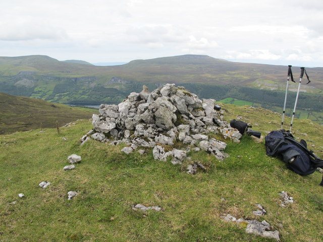 CrockaunsMountain / peak · 1733 yd
 Cross in DiffreenCross · 1.1 mi
 IndicatedFairy fort / earthen ringfort · 1.4 mi
 Copes MountainMountain / peak · 1.7 mi
 Memorial Francis FinnMemorial · 1.8 mi
 Glencar Lough ViewpointViewpoint · 1.9 mi
 Doneen WestCliff · 2.1 mi
 Gleniff Barytes MineRuins · 3.0 mi