What is recorded here
Knocknabinny holds a four-foot earthen ring, wide enough for a dozen people to walk inside without touching the wall. It has stood on that west-facing slope since before maps drew it as a broken penannular line in 1842. cattle graze around it now, unaware they are eating inside the shadow of a fortress that outlived every army strong enough to break it.
In pasture, on W-facing slope. Shown as hachured penannular enclosure on 1842 OS 6-inch map; hachured semi-circle on 1902 map. Now defined by raised circular area (H 1.4m; 24.8m N-S; 25m E-W) with slight slope downhill to S.
The above description is derived from the published 'Archaeological Inventory of County Cork. Volume 2: East and South Cork' (Dublin: Stationery Office, 1994). In certain instances the entries have been revised and updated in the light of recent research.
Date of upload/revision: 14 January 2009
A fairy fort or earthen ringfort in Knocknabinny is a likely early-medieval defensive or habitation site, indicated by its circular, raised earthwork structure. Local folklore may associate it with supernatural or fairy activity, as suggested by its traditional name.
The monument record does not grant public access. Check the route and ask the landowner before entering private land.
- What survives
- Recorded monument
Places near here
 Ringfinnan 9/11 Garden of RemembranceMemorial · 1595 yd
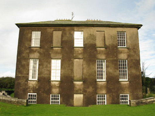 Ballywilliamcountry house · 1724 yd
 farm housefarm house · 1.2 mi
 The Moving StatueHeritage attraction · 1.2 mi
 Fulacht fia in Cappagh (kinsale By.)Fulacht fia · 1.5 mi
 Blacks Brewery & DistilleryHeritage attraction · 1.6 mi
 Ringrone CastleCastle · 1.8 mi
 Ringrone Castle (in Ruins)Castle, tower house · 1.8 mi
 Ladys WellHoly well · 1.9 mi
 Ballinacurra WoodWood · 1.9 mi
 Courtaparteen Famine VillageWood · 2.0 mi
 Battle of KinsaleMajor battlefield · 2.2 mi