What is recorded here
Knocknabehy holds a thirty-four metre earthen ring on a south-facing Cork slope, its broad entrance facing southeast while a field fence still skirts the overgrown bank. The earth rises one and a half metres above the inside, shaping a small world where people may have lived, hidden or simply marked the land before written memory. What is certain is that the ring survived, and what is lovely is that it still invites imagination.
In pasture, on S-facing slope. Circular area (34m N-S) defined by earthen bank (int. H 1.6m); external fosse survives as gentle slope in to base of bank. Bank heavily overgrown; entrance (Wth 7.6m) to SSE; gap (Wth 4m) to N. Field fence skirts bank E->W.
The above description is derived from the published 'Archaeological Inventory of County Cork. Volume 3: Mid Cork' (Dublin: Stationery Office, 1997). In certain instances the entries have been revised and updated in the light of recent research.
Date of upload/revision: 14 January 2009
The monument record does not grant public access. Check the route and ask the landowner before entering private land.
- What survives
- Recorded monument
Places near here
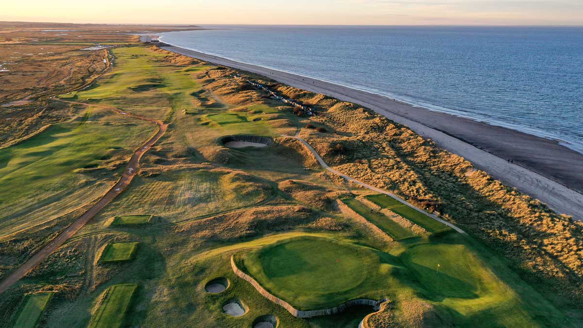 Fulacht fia in NewcastleFulacht fia · 396 yd
 Castle (Site of)Castle, unclassified · 764 yd
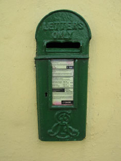 post boxpost box · 1175 yd
 Pairc Ath Na hEornaMemorial · 1276 yd
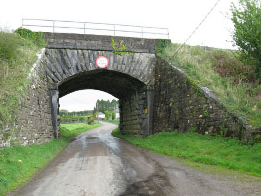 bridgebridge · 1475 yd
 Garrycloyne Castle (in Ruins)Castle, tower house · 1650 yd
 Fulacht FiadhFulacht fia · 1.0 mi
 Pakie HoganMemorial · 1.2 mi
 BatsVisitor information · 2.6 mi
 Waterloo Loop WalkWalking route · 2.9 mi
 River Martin Mill & WeirVisitor information · 2.9 mi
 Ring WoodWood · 3.6 mi