What is recorded here
Knockloughlin holds a small earthen ring on high ground, marked on a 1912 map but now hidden beneath dense overgrowth. The bank still rises above the grass, shaping a circle that no longer needs explanation. It may have been a home, a boundary marker or a child's climbing hill, yet the earth remembers the shape even when people forget the name.
Situated on high ground in upland area. Raised circular area enclosed by an earthen bank, impossible to examine site due to dense overgrowth. Depicted as small circular enclosure on 1912 edition of the OS 6-inch map.
The above description is derived from the published 'Archaeological Inventory of County Offaly' (Dublin: Stationery Office, 1997). In certain instances the entries have been revised and updated in the light of recent research.
Date of upload: 23 May 2011
The monument record does not grant public access. Check the route and ask the landowner before entering private land.
- What survives
- Recorded monument
Places near here
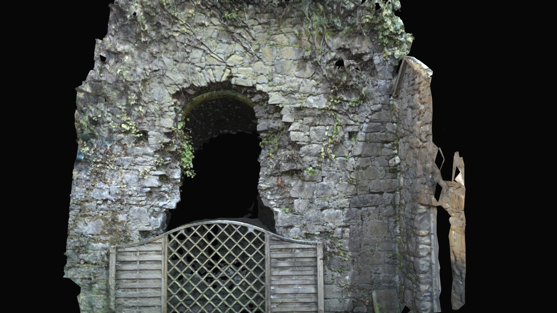 Enclosure in Keeloge (ballybrit By.)Enclosure · 516 yd
 Enclosure in Laughil (ballybrit By.)Enclosure · 932 yd
 IndicatedKiln, lime · 1600 yd
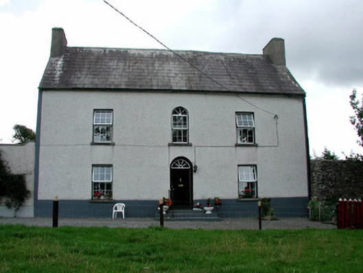 Summerhill Housefarm house · 1.2 mi
 Saint Kieran's WellSpring · 1.4 mi
 CastleCastle, ringwork · 1.7 mi
 Ballaghmore CastleCastle, tower house · 2.1 mi
 Millennium GardenMemorial · 2.7 mi
 FarbreagueMountain / peak · 2.9 mi
 European YewEuropean Yew · 2.9 mi
 European BeechEuropean Beech · 2.9 mi
 Roscrea Petty Sessions HouseHeritage attraction · 3.7 mi