What is recorded here
Knocklough holds a subcircular earthen ringfort on a south-facing slope, its grass-covered dome measuring thirty-one metres north-south and twenty-seven metres east-west. A four-metre-wide scarp rises one point six metres along the east-northeast edge while faint traces of an outer fosse disappear elsewhere into the ground. Old quarry holes mark the east-northeast and south perimeters, suggesting people once took stone from the very boundary that enclosed them. The entrance remains unidentifiable, leaving the fort both defined and deliberately vague, as if the earth absorbed the door after forgetting it.
Located towards the top of a S-facing slope. This is a subcircular and slightly domed grass-covered area (dims 31m N-S; 27m E-W) defined by a scarp (at ENE: Wth 4m; H 1.6m) SSW-W-ENE with slight traces of an outer fosse, but the perimeter melds into the ground level elsewhere. The original entrance is not identified, but there area old grass-covered quarry holes on the perimeter at ENE and S.
The above description is derived from the published 'Archaeological Inventory of County Meath' (Dublin: Stationery Office, 1987). In certain instances the entries have been revised and updated in the light of recent research.
Compiled by: Michael Moore
Date of revision: 9 January 2019
The monument record does not grant public access. Check the route and ask the landowner before entering private land.
- What survives
- Recorded monument
Places near here
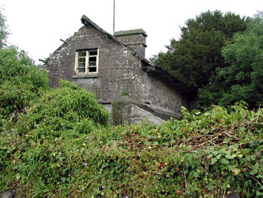 Loughcrew Housegate lodge · 689 yd
 Enclosure in LoughcrewEnclosure · 1204 yd
 Fairy fort / earthen ringfort in LoughcrewFairy fort / earthen ringfort · 1278 yd
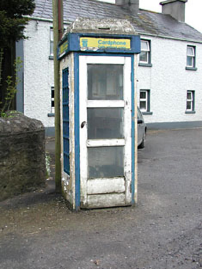 telephone boxtelephone box · 1368 yd
 Slieve GullionMountain / peak · 1418 yd
 Green CastleCastle, unclassified · 1552 yd
 European YewEuropean Yew · 1.2 mi
 Common LimeCommon Lime · 1.2 mi
 Zip WireHeritage attraction · 1.3 mi
 MoatCastle, motte · 1.3 mi
 LoughcrewMegalithic tomb cemetery · 1.8 mi
 Carnbane WestMountain / peak · 1.8 mi