What is recorded here
Knockglass holds a broad earthen ring on a small hill, its grassy bank rising nearly four metres above a shallow fosse that has almost vanished under centuries of growth. The circle measures sixty metres across, large enough for several houses or a gathering of horses, yet no entrance remains visible to mark where people entered or left. It is the kind of place where the boundary between human making and fairy mischief blunts, because the earth itself seems to have drawn the line and forgotten the door.
Located on a small hill in a gently undulating landscape. This is a raised, circular, grass and scrub-covered area (diam. 60.5m NE-SW; 56.5m NW-SE) defined the lip of an overgrown earthen bank (Wth of base 6-7.5m; int. H 0.2m; ext. H 2.9m at NW to 3.8m at SE) separated by a fosse (Wth of base 3.5-5m; ext. D 0.2-0.4m) that cannot be traced SE-SSW and WSW-WNW from traces of a possible outer bank (Wth of base c. 8m; ext. H 0.4m) that are only visible at SE and might be the natural slope. The original entrance is not identified.
The above description is derived from the published 'Archaeological Inventory of County Meath' (Dublin: Stationery Office, 1987). In certain instances the entries have been revised and updated in the light of recent research.
Compiled by: Michael Moore
Date of revision: 9 April 2019
The monument record does not grant public access. Check the route and ask the landowner before entering private land.
- What survives
- Recorded monument
Places near here
 ChapelChurch · 617 yd
 Addie's WoodWood · 678 yd
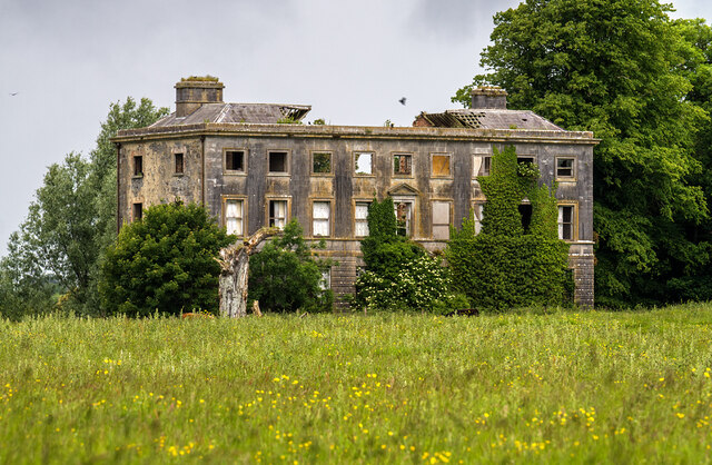 Williamstowncountry house · 765 yd
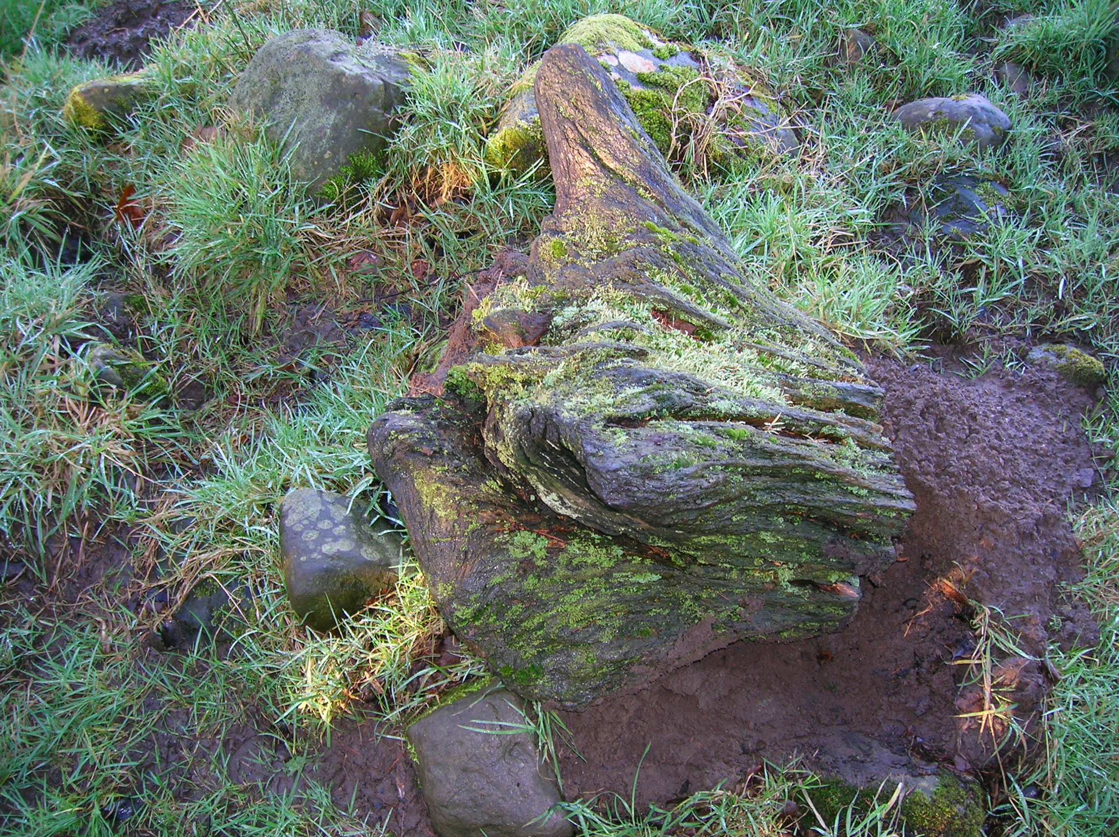 Zephyr Bog WoodWood · 876 yd
 Standing StoneArchaeological place · 1.1 mi
 MountainpoleMountain / peak · 1.3 mi
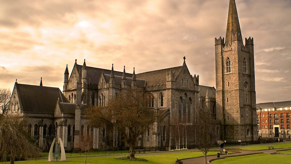 St. Patricks WellHoly well · 1.3 mi
 John Mac MahonMemorial · 1.3 mi
 DeerparkMountain / peak · 1.5 mi
 Kells Anglers Association MemorialMemorial · 1.6 mi
 Moynalty Steam Threshing MuseumMuseum · 2.2 mi
 Moat of KilbegCastle, motte and bailey · 2.6 mi