What is recorded here
Knockfield held a thirty-four metre earthen ring with a southern entrance until machines levelled it around 1981. The fairy fort label suggests people once believed the circle belonged elsewhere, yet it sat plainly in Kildare pasture. Forgetting that boundary is easy when grass grows over the mark. Remembering it is an act of resistance.
Circular area (diam. c. 34m) surrounded by an earthen bank with an entrance at the S. Levelled around 1981. Situated in pasture land. No visible surface traces.
Date of upload: 8 September 2016
The monument record does not grant public access. Check the route and ask the landowner before entering private land.
- What survives
- Recorded monument
Places near here
 Enclosure in KnockfieldEnclosure · 308 yd
 Nunnery (in Ruins)Religious house, Augustinian, of Arrouaise nuns · 811 yd
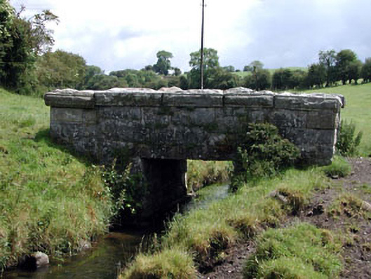 foot bridgefoot bridge · 918 yd
 Cross in KnockpatrickCross · 950 yd
 CastleCastle, unclassified · 1445 yd
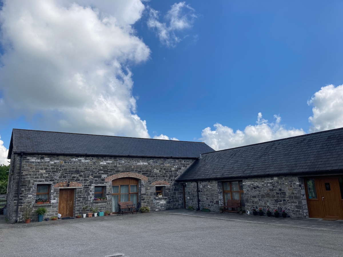 Partially OutlinedCastle, unclassified · 1.9 mi
 Church (in ruins), Cross, GraveyardChurch · 2.0 mi
 Castledermot Round TowerHeritage attraction · 2.7 mi
 Franciscan FriaryHeritage attraction · 2.8 mi
 Rahill Church (in ruins), GraveyardChurch · 2.8 mi
 European ashEuropean ash · 3.3 mi
 Cork oakCork oak · 3.7 mi