What is recorded here
Knockeenbwee Lower holds a circular earthen ringfort twenty-one metres wide, its one-metre bank now buried under thick growth. The interior remains inaccessible, hiding whatever life or loss triggered its building. A forgotten household may have stood there, raising a defensible wall against neighbours or weather before disappearing entirely. The fort still marks the field, waiting for someone to clear the vegetation and ask what it protected.
Circular area (21m E-W; 19m N-S) enclosed by overgrown bank (int. H to E 1m). Interior heavily overgrown; inaccessible.
The above description is derived from the published 'Archaeological Inventory of County Cork. Volume 1: West Cork' (Dublin: Stationery Office, 1992). In certain instances the entries have been revised and updated in the light of recent research.
Date of upload/revision: 14 January 2009
The monument record does not grant public access. Check the route and ask the landowner before entering private land.
- What survives
- Recorded monument
Places near here
 IndicatedFairy fort / earthen ringfort · 868 yd
 CaheruagongarFairy fort / stone ringfort · 1646 yd
 Milane HillMountain / peak · 1.3 mi
 Graveyard in ToughmacdermodyGraveyard · 2.5 mi
 Bridge in Derryclogh Lower,minanesBridge · 2.6 mi
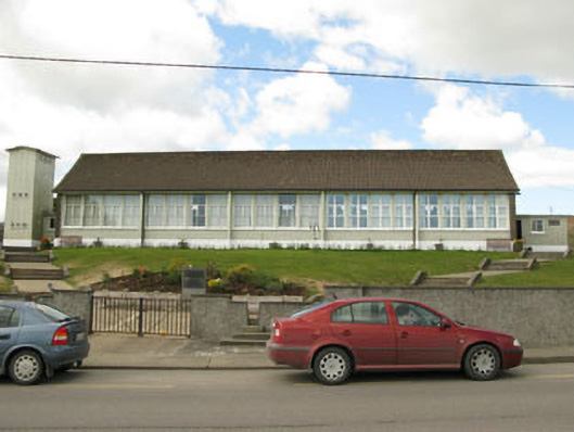 Scoil Mhuire Draighneaghschool · 2.7 mi
 Pookeen North TopMountain / peak · 2.8 mi
 Drimoleague Heritage Loop WalkWalking route · 3.2 mi
 Delish Cascade WalkWalking route · 3.4 mi
 Mohona WoodWood · 3.7 mi
 Castle Donovan (in Ruins)Castle, tower house · 3.9 mi
 Castle DonovanCastle · 4.0 mi