What is recorded here
Knockea lost its forty-metre fairy fort to the plough, erasing the circular earthwork drawn on the 1841 map. The gentle eastern slope now holds ordinary pasture, hiding the boundary that once shaped local memory. Forgetting is not the same as never existing.
Situated in pasture on a gentle E-facing slope. Monument, depicted on the 1841 OS map as a circular enclosure (diam. c. 40m), has been levelled and there was no evident trace of it when the site was inspected.
Compiled by: Denis Power
Date of upload: 31 May 2013
The monument record does not grant public access. Check the route and ask the landowner before entering private land.
- What survives
- Recorded monument
Places near here
 Edwardstown Housecountry house · 457 yd
 Not indicated, 394 ft. ODSettlement cluster · 539 yd
 Burial ground in KnockeaBurial ground · 597 yd
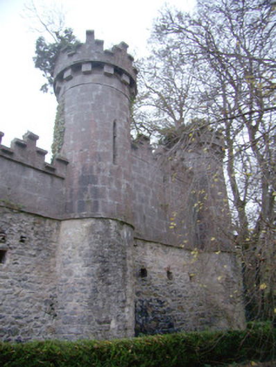 Glen Viewoutbuilding · 921 yd
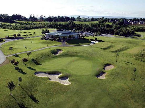 Ballyneety Castle (Site of)Castle, unclassified · 1243 yd
 Lickadoon Castle (in ruins)Castle, tower house · 1.1 mi
 ToberauillinSpring · 1.4 mi
 Wych ElmWych Elm · 2.0 mi
 Graveyard in AbingtonGraveyard · 6.5 mi
 St. Patrick's WellSpring · 8.6 mi
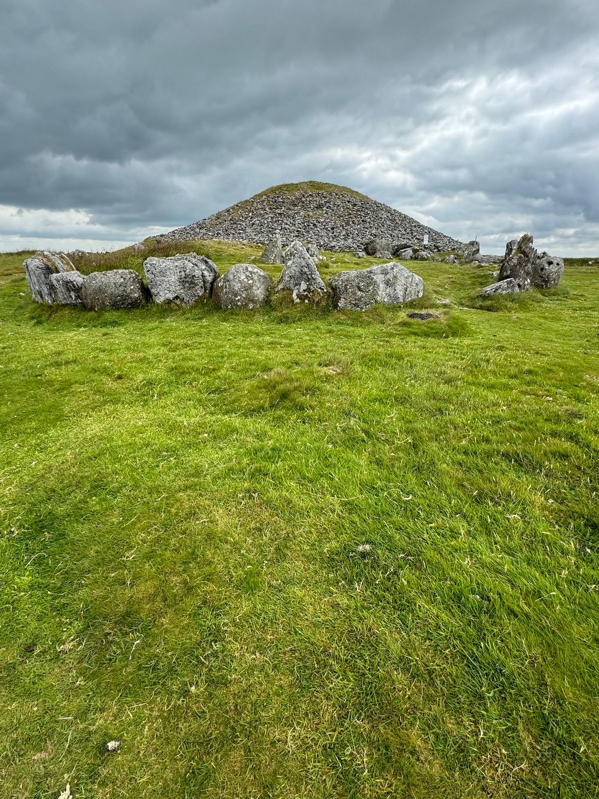 CairnCairn, unclassified · 822 yd
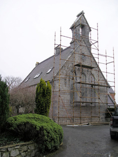 Cahernarry Churchchurch/chapel · 1007 yd