What is recorded here
Knockdav holds a thirty-two-metre stone ring on a steep ridge, forcing intruders to climb a rocky bank before facing a wide fosse. The western causeway invites entry toward a flat interior scattered with boulders, while higher ground to the north watches the junction. People may have stood there to read weather or claim territory, using the SE view and the ridge's shape to make the ordinary world feel arranged.
On the SE-facing slope of a fairly steep N-S ridge, just above start of rise to uplands, in rolling grassland. There are good views to the SE, S, SW and W but the monument is overlooked by higher ground to the N. A roughly circular area (diam. c. 32m N-S; 28m E-W) enclosed by a steep-sided rocky bank (Wth 3m; int. H c. 1.1m; ext. H c. 1.1m), containing many boulders, and an external fosse (Wth c. 3m; D 0.7m). An outer bank (Wth c. 1-2m; ext. H 0.8m) is evident on the downslope side, at S and E only. There is a ramp entrance (Wth 2.5m) and causeway in the W sector. The interior is fairly flat and slopes slightly from NE to SW.
Compiled by: Jean Farrelly
Date of upload: 22 January 2018
The monument record does not grant public access. Check the route and ask the landowner before entering private land.
- What survives
- Recorded monument
Places near here
 Concentric enclosure in SevensistersConcentric enclosure · 582 yd
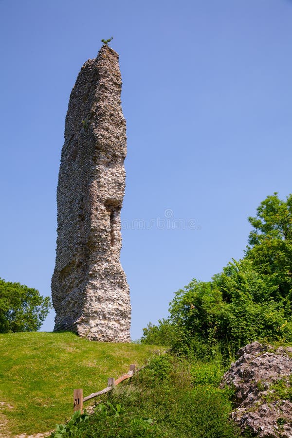 CastleCastle, ringwork and bailey · 686 yd
 Enclosure in SevensistersEnclosure · 755 yd
 Temple DonaghmoreChurch · 932 yd
 Clomantagh HillMountain / peak · 1551 yd
 rectory/glebe/vicarage/curate's houserectory/glebe/vicarage/curate's house · 1.0 mi
 John HelyMemorial · 1.2 mi
 DelaneyMemorial · 1.3 mi
 TurretBawn · 2.6 mi
 Street fieldArchaeological place · 3.4 mi
 Kildrinagh WoodForest · 3.6 mi
 Anker's IslandIsland · 8.8 mi