What is recorded here
Knockaunduff held a thirty-metre earthen ring on a low Cork ridge, visible only on the 1842 survey before pasture and plough erased it. The loss is not empty; it is a reminder that human hands make and unmake living shape. What is forgotten can be remembered, and what is remembered can be acted upon.
On top of a low ridge, in pasture. Shown as circular enclosure (diam. c. 30m) on OS 6-inch map 1842. Levelled; no visible surface trace.
The above description is derived from the published 'Archaeological Inventory of County Cork. Volume 2: East and South Cork' (Dublin: Stationery Office, 1994). In certain instances the entries have been revised and updated in the light of recent research.
Date of upload/revision: 14 January 2009
The monument record does not grant public access. Check the route and ask the landowner before entering private land.
- What survives
- Recorded monument
Places near here
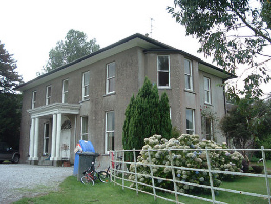 Terramount Housecountry house · 1099 yd
 Ballinterry Bridgebridge · 1331 yd
 Tower (in Ruins)Bawn · 1483 yd
 Enclosure in RathcormackEnclosure · 1649 yd
 Earthwork in BallinterryEarthwork · 1.0 mi
 Barrymore Castle or Castle LyonsHouse, fortified house · 1.3 mi
 Pope's WellSpring · 2.1 mi
 Corrin WoodsWood · 2.9 mi
 Strawhall WoodForest · 3.1 mi
 Devonshire's HillMountain / peak · 3.8 mi
 Graveyard in FermoyGraveyard · 4.2 mi
 Kent BridgeMemorial · 4.2 mi