What is recorded here
Situated on a prominent hillock in grassland with commanding views in all directions. Ringfort (WM012-144----) 150m to ENE. Depicted on the 1837 OS Fair Plan as a circular shaped earthwork annotated as ‘fort’. This site has been levelled, and all that remains is a flat oval; area on top of the hillock. Local information suggests that this site was levelled in the mid-1960s.
Compiled by: Frank Coyne and Caimin O'Brien
Date of upload: 6 March 2018
A fairy fort or earthen ringfort in Knockatee is a likely early-medieval defensive or agricultural settlement, indicated by its circular earthwork and strategic location on a prominent hillock. The site, marked as a 'fort' on the 1837 OS Fair Plan, may be associated with local folklore regarding fairy realms or ancient habitation, common in such landscape features across Ireland.
The monument record does not grant public access. Check the route and ask the landowner before entering private land.
- What survives
- Recorded monument
Places near here
 Partially hachuredFairy fort / earthen ringfort · 208 yd
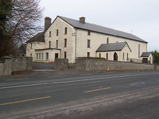 Catholic Church of the Assumptionchurch/chapel · 1079 yd
 Toberallen Church Yd.Churchyard · 1186 yd
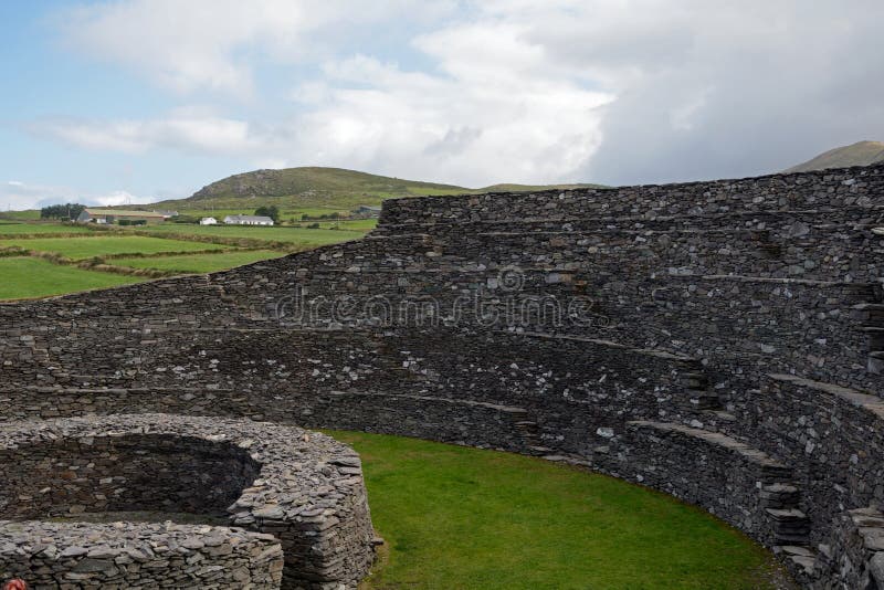 Ancient Ring FortRuins · 1446 yd
 Taghmon CastleCastle, tower house · 1.4 mi
 Long PlantingForest · 2.1 mi
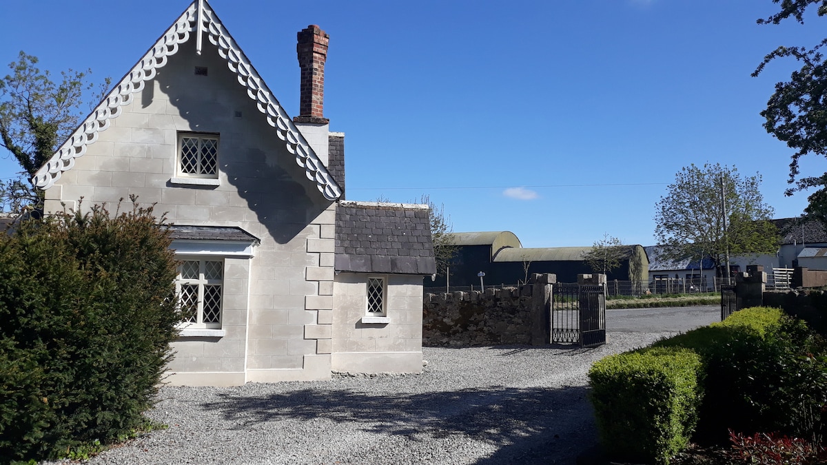 IndicatedCastle, tower house · 2.4 mi
 Scragh Bog Nature ReserveNature reserve · 3.0 mi
 Church IslandIsland · 3.6 mi
 Saint Brigid's WellSpring · 3.6 mi
 United Nations War MemorialMemorial · 4.2 mi
 Srudarra IslandIslet · 4.4 mi