What is recorded here
Knockastuckane holds a faded ringfort where a sharp bank once climbed a west-facing slope. Surveyors marked the circular shape on maps from 1842 to 1937, but ploughs and patience have since smoothed most of the earth. A faint arc still brushes the southern ground, preserving the ghost of a boundary rather than a complete wall. The fort has become a rumour in the pasture, visible only when the light rakes low and the grass leans against its hidden curve.
In pasture, on W-facing slope. Depicted as hachured circular enclosure (diam. c. 30m) on 1842, 1904 and 1937 OS 6-inch maps. Levelled; arc formed by slight scarp survives S->WNW. One of five levelled and partially levelled ringforts (CO030-043---, CO030-045---, CO030-049---, CO030-050---) recorded by Bowman (1934, 280) on Mr Leader's land.
The above description is derived from the published 'Archaeological Inventory of County Cork. Volume 4: North Cork' (Dublin: Stationery Office, 2000). In certain instances the entries have been revised and updated in the light of recent research.
Date of upload/revision: 14 January 2009
The monument record does not grant public access. Check the route and ask the landowner before entering private land.
- What survives
- Recorded monument
Places near here
 Burial GdBurial ground · 1492 yd
 Tobernabrid (Site of)Holy well · 1.0 mi
 IndicatedHouse, vernacular house · 1.7 mi
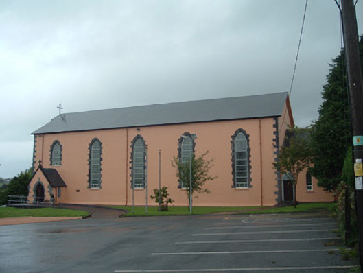 Church of the Presentation of Our Ladychurch/chapel · 1.8 mi
 Drominagh Castle (Site of)Castle, unclassified · 1.8 mi
 Castle (Site of)Bawn · 3.7 mi
 Rathcool WoodWood · 4.8 mi
 Battle of Knocknaclashybattle · 4.9 mi
 RowanRowan · 6.5 mi
 Kanturk CastleHeritage attraction · 6.7 mi
 St Fursey's WellSpring · 7.9 mi
 CurracahillMountain / peak · 8.1 mi