What is recorded here
Fairy fort / earthen ringfort in Knockanglass (Ballymackey parish) is a fairy fort or earthen ringfort in Knockanglass (Ballymackey parish), County Tipperary, Ireland. It occupies a gentle south-facing pasture slope as a raised circular area measuring 28.3 metres north-south and 26.8 metres east-west. The enclosure is defined by a 2.9-metre-wide bank with an internal height of 0.27 metres and an external height of 1.74 metres, alongside an external ditch 4.4 metres wide and 0.38 metres deep. No entrance feature is visible.
Situated on a gentle S-facing slope in pasture. A raised circular area (diam. 28.3m N-S; 26.8m E-W) defined by a bank (Wth 2.9m; int. H 0.27m; ext. H 1.74m) and an external fosse (Wth 4.4m; D 0.38m). No trace of an entrance feature.
The above description is derived from 'The Archaeological Inventory of County Tipperary. Vol. 1 - North Tipperary' compiled by Jean Farrelly and Caimin O'Brien (Dublin: Stationery Office, 2002). In certain instances the entries have been revised and updated in the light of recent research.
Date of upload/revision: 22 September 2008
The monument record does not grant public access. Check the route and ask the landowner before entering private land.
- What survives
- Recorded monument
Places near here
 Hermitagecountry house · 1270 yd
 RathfallaFairy fort / earthen ringfort · 1636 yd
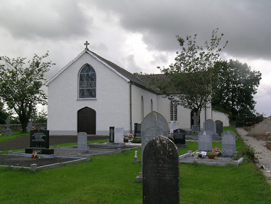 Saint Joseph's Catholic Churchchurch/chapel · 1668 yd
 RathurlesFairy fort / earthen ringfort · 1.0 mi
 Rathurles CastleCastle · 1.1 mi
 Ballymackey CastleCastle · 1.2 mi
 James Devaney MemorialMemorial · 1.6 mi
 Ballycapple WoodForest · 3.3 mi
 Old BarracksHeritage attraction · 3.4 mi
 Gibbet HillMountain / peak · 3.4 mi
 Nenagh Heritage CentreMuseum · 3.7 mi
 Kyleroe WoodWood · 4.4 mi