What is recorded here
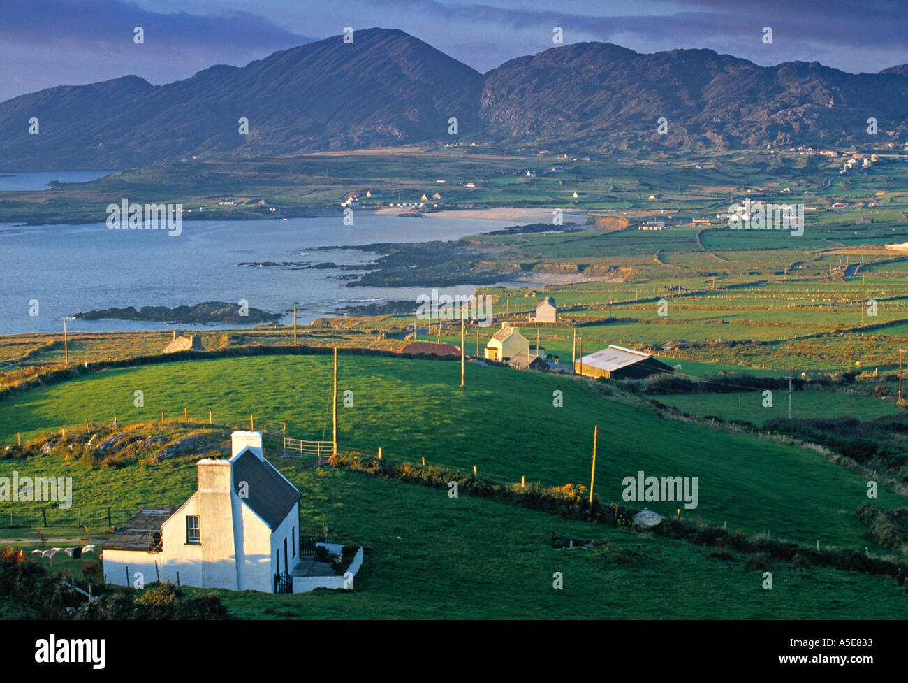
Knockane held a circular earthen enclosure marked on the 1842 survey, but human hands later levelled the ridge and erased the boundary. The boreen cutting through the site suggests the fort served a living farmhouse rather than waiting for fairy explanation. What remained was a absent shape, visible only in the memory of the land and the line of the road.
Marked as circular enclosure on OS 6-inch map (1842). Cut by boreen from Bantry-Dunmanway Road to farmhouse. Levelled, no visible surface trace.
The above description is derived from the published 'Archaeological Inventory of County Cork. Volume 1: West Cork' (Dublin: Stationery Office, 1992). In certain instances the entries have been revised and updated in the light of recent research.
Date of upload/revision: 14 January 2009
The monument record does not grant public access. Check the route and ask the landowner before entering private land.
- What survives
- Recorded monument
Places near here
 Man-made underground passage in Knockane (carbery West (e.d) By.)Man-made underground passage · 449 yd
 LiscaheraghFairy fort / earthen ringfort · 1415 yd
 telephone boxtelephone box · 1.1 mi
 Church in Killeenleagh (carbery West (w.d) By.)Church · 1.2 mi
 Moyny Bridge WalkWalking route · 1.7 mi
 Drimoleague Heritage Loop WalkWalking route · 2.0 mi
 Ballyourane Castle (in Ruins)Castle, unclassified · 2.3 mi
 Lissangle Castle (Site of)Castle, unclassified · 3.0 mi
 Francis O'Neill PlaqueMemorial · 3.7 mi
 Mullach MéiseMountain / peak · 4.1 mi
 Mount KidMountain / peak · 4.5 mi
 Monterey CypressMonterey Cypress · 7.6 mi