What is recorded here
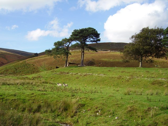
Fairy fort / earthen ringfort in Knockadigeen is a fairy fort or earthen ringfort in Knockadigeen, County Tipperary, Ireland. Although levelled, the roughly oval site remains discernible on a break in the lower north-facing slope of Knockadiggeen Hill. It measures 26.3 metres north-south and 33 metres east-west, with a low broad bank and a possible entrance in the northeast quadrant.
Situated on a break in the lower N-facing slope of Knockadiggeen Hill. Indicated on the 1st ed. (1843) OS 6-inch map but not on the 1904 ed. Although levelled the site is discernible as a roughly oval area (diam. 26.3m N-S; 33m E-W) defined by a low, broad bank (Wth 3.2m; int. H 0.26m; ext. H 0.34m), while the N edge is defined by a scarp (H 1.16m). Possible entrance (Wth 6.6m) in the NE quadrant.
The above description is derived from 'The Archaeological Inventory of County Tipperary. Vol. 1 - North Tipperary' compiled by Jean Farrelly and Caimin O'Brien (Dublin: Stationery Office, 2002). In certain instances the entries have been revised and updated in the light of recent research.
Date of upload/revision: 22 September 2008
A fairy fort / earthen ringfort in Knockadigeen is a likely early-medieval agricultural or defensive enclosure, characterised by a roughly oval, levelled earthwork with a diameter of 26.3m. It appears on the 1843 Ordnance Survey map but not on later editions, suggesting partial erasure or abandonment; local tradition may associate it with fairy lore common to such sites in Irish and Scottish folklore.
The monument record does not grant public access. Check the route and ask the landowner before entering private land.
- What survives
- Recorded monument
Places near here
 Hillfort in Cloghonan,knockadigeenHillfort · 775 yd
 Knockadigeen HillMountain / peak · 783 yd
 IndicatedFairy fort / earthen ringfort · 789 yd
 LisnarahaCastle, ringwork · 1318 yd
 CastleCastle, unclassified · 1393 yd
 Knockacraheen HillMountain / peak · 1597 yd
 RoadRoad, road/trackway · 1.1 mi
 Killavalla WoodForest · 1.2 mi
 All Saints Catholic Churchchurch/chapel · 1.5 mi
 Sweet ChestnutSweet Chestnut · 4.6 mi
 Silvermines ViewpointViewpoint · 5.3 mi
 Our Lady Assumed into HeavenMemorial · 5.6 mi