What is recorded here
Knockaderry held a twenty-metre ringfort where people lived before ploughs and pasture erased its shape. The earth still keeps a faint scarped edge and wide outer ditch, marking the boundary of a home that no longer stands proud. cattle graze inside the forgotten walls, stepping across floors where children may have played, cooked or feared the dark. The fort is gone only to eyes that want towers and doors; it remains visible to anyone who watches how level ground holds a circle.
In level pasture. Monument, depicted as embanked circular enclosure (diam. c. 20m) on 1923 OS 6-inch map, has been levelled and incorporated into pasture field. However, this is now discernible as roughly circular area defined by scarped edge (H 0.15m; Wth 1.6m) with external fosse (D 0.15m; Wth 6m). A NE-SW running field boundary skirts outer edge of fosse at SE. Interior level and under pasture.
Compiled by: Denis Power
Date of upload: 26 August 2011
The monument record does not grant public access. Check the route and ask the landowner before entering private land.
- What survives
- Recorded monument
Places near here
 Hut site in KnockaderryHut site · 190 yd
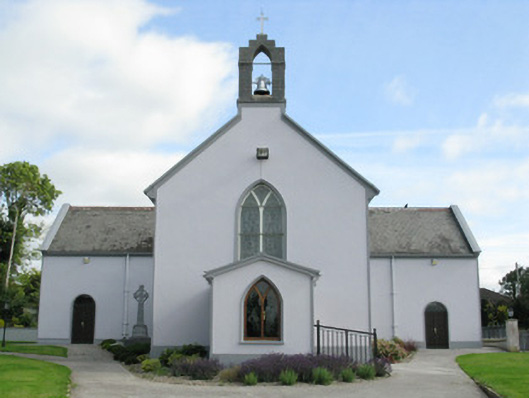 Saint Munchin's Catholic Churchchurch/chapel · 313 yd
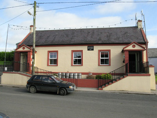 Knockaderry Hall and Libraryhall · 348 yd
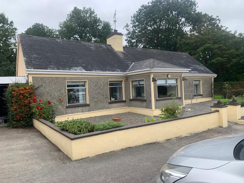 Lisgoura -HachuredEnclosure · 545 yd
 European ashEuropean ash · 1.4 mi
 CastleCastle, tower house · 1.4 mi
 LaghtpatrickSpring · 1.4 mi
 Ballynoe Castle (in ruins)Castle, tower house · 1.8 mi
 Lady's WellSpring · 1.9 mi
 Limerick GreenwayWalking route · 7.6 mi
 Ballagh MountainMountain / peak · 8.6 mi
 Sugar HillMountain / peak · 8.9 mi