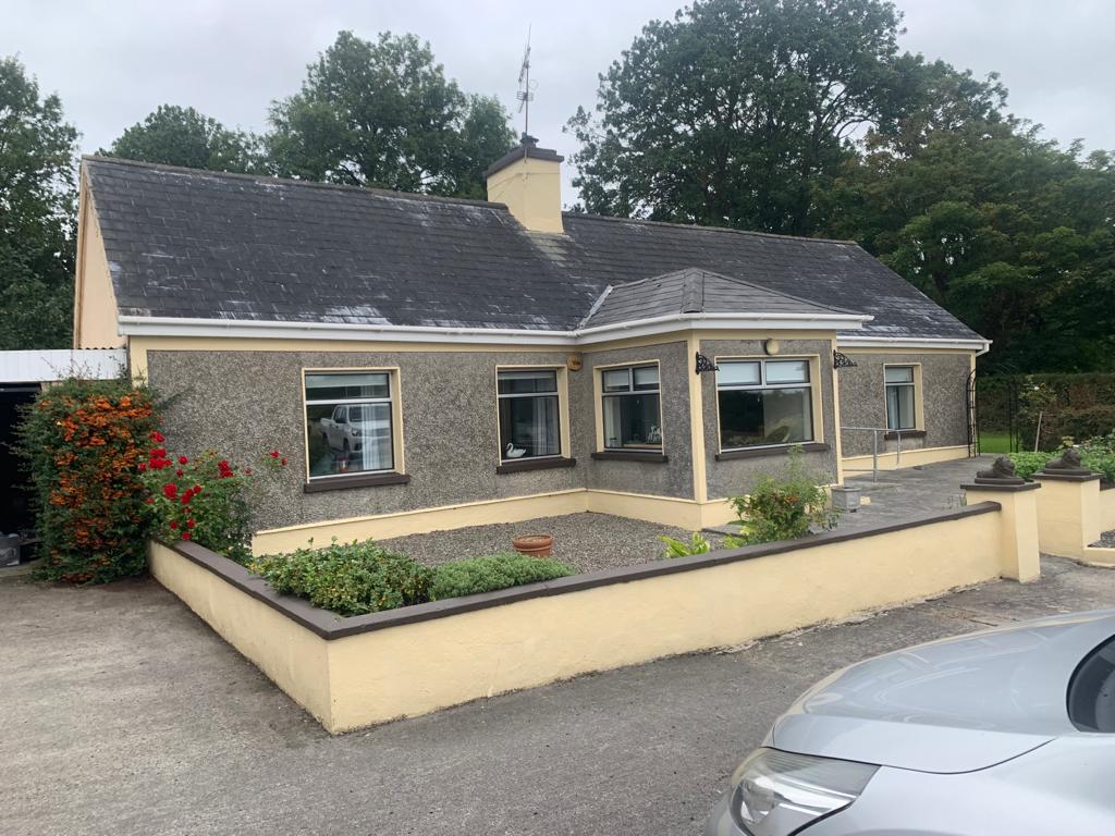
What is recorded here
In elevated level pasture. Indicated on 1923 OS 6-inch map as a sub-rectangular hachured area (c. 30m N-S; c. 32m E-W). No extant trace remains. Listed as a moated site by Barry (Barry 1981, 83; site no. 3).
Compiled by: Denis Power
Date of upload: 26 August 2011
The monument record does not grant public access. Check the route and ask the landowner before entering private land.
- What survives
- Recorded monument
Places near here
 Anomalous stone group in Ballybrown (connello Lower By.)Anomalous stone group · 311 yd
 Hut site in KnockaderryHut site · 393 yd
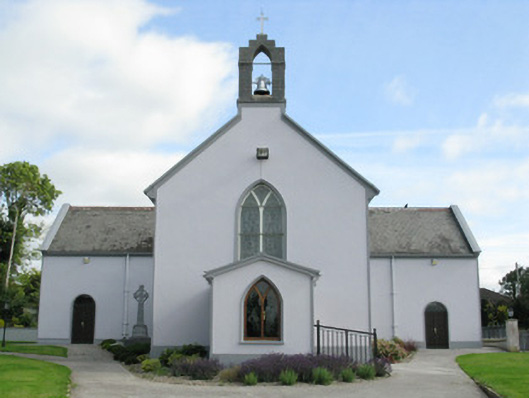 Saint Munchin's Catholic Churchchurch/chapel · 683 yd
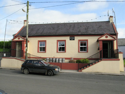 Knockaderry Hall and Libraryhall · 727 yd
 European ashEuropean ash · 1.1 mi
 CastleCastle, tower house · 1.1 mi
 LaghtpatrickSpring · 1.5 mi
 Lady's WellSpring · 2.0 mi
 Ballynoe Castle (in ruins)Castle, tower house · 2.1 mi
 Limerick GreenwayWalking route · 7.7 mi
 Ballagh MountainMountain / peak · 8.8 mi
 Sugar HillMountain / peak · 9.0 mi
Other information
Photo: Credit not shown in the picture search · Rights wording not checked; contact us if this picture should be removed