What is recorded here
Knockaderry holds a triple-edged fort where three earth banks and two ditches once circled a level chamber thirty metres wide. The western arc still rises in truncated lines across the pasture, preserving the shape drawn on maps before grass and time softened the rest. People may have lived inside that hidden circle, facing outward through layers of defence while the land remained quiet around them.
In level pasture. This rath is indicated as a circular enclosure (diam. c. 30m) on the 1846 and 1897 OS 6-inch maps. It is now evident as the heavily overgrown and truncated remains of a trivallate rath. The enclosing elements survive mainly along the W arc. The inner bank (Wth 4.4m; int. H 0.6m; ext. H 1.4m) is visible SW-NW. There is an intervening fosse (Wth 3.2m) SW-NW. A middle earthen bank (Wth 3.05m; int. H 0.6m; ext. H 2.6m), an outer fosse (Wth 1.7m) and an outer earthen bank (Wth 2.9m; int. H 0.9m; ext. H 0.9m) are evident WSW-WNW. The level interior is inaccessible.
Compiled by: Elizabeth Byrne, Ursula Egan and Sheila Ronan, Archaeological Survey Unit, University College, Cork.
Date of upload: 31 January 2011
The monument record does not grant public access. Check the route and ask the landowner before entering private land.
- What survives
- Recorded monument
Places near here
 CastleCastle, motte · 592 yd
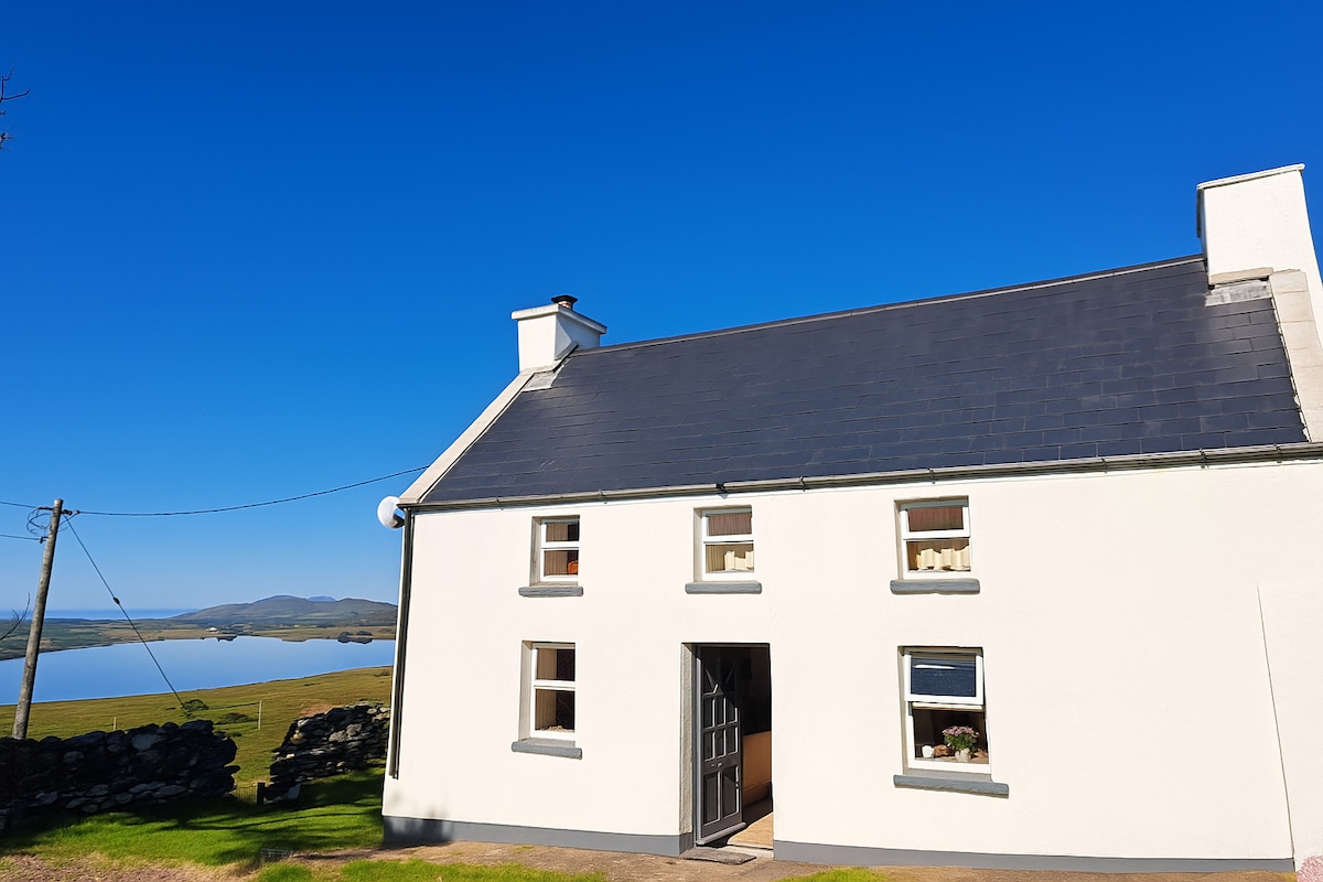 Enclosure in Gowlane (magunihy By.)Enclosure · 1232 yd
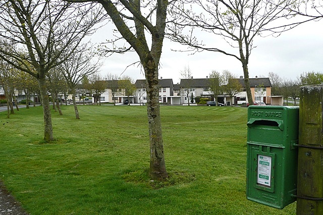 Enclosure in BallybaneEnclosure · 1425 yd
 Farranfore Br.Bridge · 1.0 mi
 Farranfore Railway Stationrailway station · 1.2 mi
 Fieries CastleCastle · 1.7 mi
 The Kerry Creamery ExperienceHeritage attraction · 5.5 mi
 Aghadoe Early Medieval Ecclesiastical SiteHeritage attraction · 5.5 mi
 Ballygamboon Forest Recreation AreaWood · 5.9 mi
 Famine MemorialMemorial · 6.5 mi
 GinkgoGinkgo · 6.7 mi
 Circular WalkWalking route · 6.8 mi