What is recorded here
Fairy fort / earthen ringfort in Knockadangan is a fairy fort or earthen ringfort in Knockadangan, County Roscommon, Ireland. It occupies the top of a southeast-facing hill slope and appears as a circular area with slight traces of a bank and fosse. A north-south field bank crosses the eastern part of the centre, while another rath stands about eighty metres to the west. The site is no longer visible at ground level in pasture but remains distinct on aerial photography.
Towards the top of a SE-facing slope of a hill. Described as a circular area defined by slight traces of a bank and fosse, and which was overlain by a N-S field bank E of the centre (Gannon 1972). It is visible on aerial photograph (CUCAP: APH 18) where it appears to be cut by the perimeter of rath (RO041-055002-), which is immediately to its NE. It is not visible now at ground level in pasture, and rath (RO041-054----) is c. 80m to the W.
Compiled by: Michael Moore
Date of upload: 24 August 2010
The monument record does not grant public access. Check the route and ask the landowner before entering private land.
- What survives
- Recorded monument
Places near here
 Stone CrossCross, Wayside cross · 541 yd
 IndicatedFairy fort / earthen ringfort · 614 yd
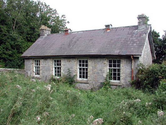 Saint Patrick's National Schoolschool · 1507 yd
 Church (in Ruins)Church · 1.2 mi
 TogherfinnForest · 1.6 mi
 European Crab AppleEuropean Crab Apple · 1.8 mi
 CastleCastle, unclassified · 2.1 mi
 Hangman's HillMountain / peak · 4.1 mi
 Roscommon CastleCastle · 4.5 mi
 Castle (Site of)Castle, unclassified · 4.7 mi
 Sally IslandIslet · 5.3 mi
 InchmoreIslet · 5.5 mi