What is recorded here
Fairy fort / earthen ringfort in Knockadalteen is a fairy fort or earthen ringfort in Knockadalteen, County Roscommon, Ireland. Susan Curran first identified the site during an M.A. thesis at University College Dublin using LiDAR data commissioned by Leitrim County Council and the National Roads Authority. The circular grass-covered area measures 24 metres NW-SE and 22 metres NE-SW, bounded by a natural scarp and earthen bank while a picket fence truncates its eastern edge.
Located on level pasture at the crest of a natural SE-facing slope which defines the NW edge of a shallow SW-NE valley. It was first identified by Susan Curran as part of an M.A. thesis with University College Dublin using a LiDAR survey dataset commissioned by Leitrim County Council and the National Roads Authority. This is a circular grass-covered area (diam. 24m NW-SE; 22m NE-SW) defined by a steep, natural scarp (Wth 5.2m; H 1m) SE-SW and by an earthen bank (at W: Wth of base 9.2m; Wth of top 2.5m; int. H 0.15m; ext. H 0.35m) SW-W-N. It is truncated by a NW-SE picket fence at E and is not visible beyond it. There is no visible fosse or entrance.
Compiled by: Michael Moore
Date of upload: 12 May 2015
The monument record does not grant public access. Check the route and ask the landowner before entering private land.
- What survives
- Recorded monument
Places near here
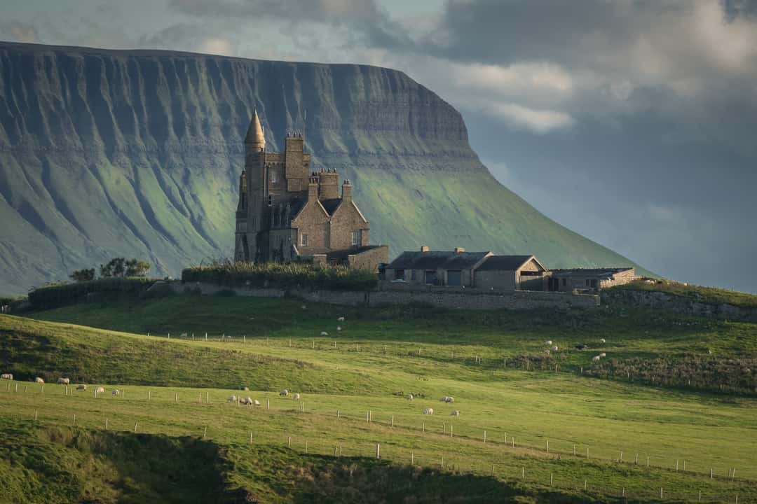 Enclosure in MullaghmoreEnclosure · 465 yd
 Embanked enclosureFairy fort / stone ringfort · 516 yd
 Carrick-on-Shannon Railway Stationrailway station · 1542 yd
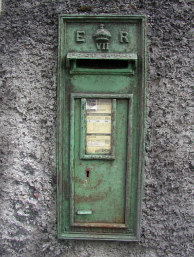 post boxpost box · 1.4 mi
 Moon RiverHeritage attraction · 1.5 mi
 Hughestown WoodForest · 2.4 mi
 Castle (Site of)Castle, unclassified · 3.3 mi
 Mullinashee WoodForest · 4.0 mi
 Site of Dangan CastleCastle, unclassified · 4.6 mi
 Patrick Gill Memorial Plaque (IRA)Monument · 4.7 mi
 Robert Strawbridge MemorialMemorial · 4.7 mi
 Leabaidh DermotCave · 6.2 mi