What is recorded here
Marked only on the 1914 ed. of the OS 6-inch map, and situated at the crest of the S-facing slope of a drumlin. Circular grass-covered area (diam. 63m E-W; 62m N-S) defined by a scarp (H 0.7-1.1m), with a fosse (Wth of top 4.2m; int. D 1m; ext. D 0.5m) SW-NW. There is no visible entrance, but the interior is overlain by a NNW-SSE field bank and ditch W of the centre, which is one boundary of a road marked on the 1837 ed. of the OS 6-inch map.
Compiled by: Michael Moore
Date of upload: 24 August 2010
The monument record does not grant public access. Check the route and ask the landowner before entering private land.
- What survives
- Recorded monument
Places near here
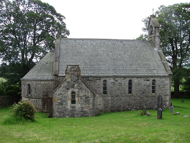 Killeenan Church (Site of)Church · 610 yd
 Ecclesiastical enclosure in KnockadaffEcclesiastical enclosure · 613 yd
 Knockvicar BridgeOfficially recorded historic building · 774 yd
 Religious houseReligious house, Franciscan Third Order Regular · 1018 yd
 Errironagh WoodForest · 1.3 mi
 Lahan IslandIslet · 1.7 mi
 Longford HillMountain / peak · 1.9 mi
 Green IslandIslet · 2.0 mi
 Smutternagh WoodWood · 2.1 mi
 Erris BayBay · 3.2 mi
 Turlough O'CarolanMemorial · 4.2 mi
 Battle of Áth an Chipbattle · 4.3 mi