What is recorded here
Knockacullin holds a trapezoidal lios twenty metres long, bounded by an arc of half-metre boulders and rough pasture on a south-east facing slope. A standing stone waits just inside the northern boundary, marking the centre of a place where human hands and fairy legend still tangle. The field walls to the south and east suggest people lived nearby, yet the fort itself resists easy explanation. It is small enough to walk across in a minute, but large enough to keep its own counsel.
In rough pasture on SSE-facing slope. Trapezoidal area (20m NW-SE), known locally as "lios". To SE and SW enclosed by stone-built field walls. W->NE bounded by arc of large boulders (H 0.9m). Interior level; standing stone (CO115-03904-) just inside arc of stones to N. (O'Brien 1970, 15).
The above description is derived from the published 'Archaeological Inventory of County Cork. Volume 1: West Cork' (Dublin: Stationery Office, 1992). In certain instances the entries have been revised and updated in the light of recent research.
Date of upload/revision: 14 January 2009
A fairy fort or earthen ringfort in Knockacullin, likely dating to the early medieval period, is a trapezoidal enclosure with a bank and ditch, associated locally with the term "lios," often linked to Irish fairy folklore. The site's partial stone boundary and boulder arc suggest both defensive and ritual significance.
The monument record does not grant public access. Check the route and ask the landowner before entering private land.
- What survives
- Recorded monument
Places near here
 Hut site in Rossmackowen CommonsHut site · 421 yd
 CairnCairn, unclassified · 476 yd
 Holly HillMountain / peak · 537 yd
 Mass-house in ShanacoumhaMass-house · 1322 yd
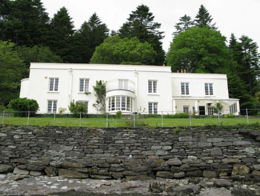 Waterfall Househouse · 1628 yd
 TrawnablahaBeach / strand · 1687 yd
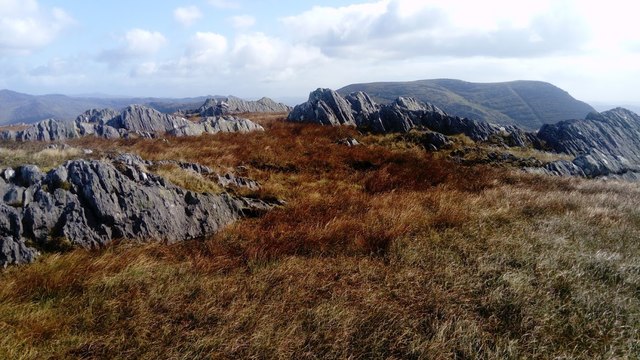 KnocknagreeMountain / peak · 1.7 mi
 Turk IslandIslet · 2.2 mi
 Rerrin LoopWalking route · 2.5 mi
 Mare's Tail WaterfallViewpoint · 2.9 mi
 Minane IslandIslet · 2.9 mi
 Beara WayWalking route · 2.9 mi