What is recorded here
Fairy forts are human places misnamed, often by people who stopped thinking and started believing. This is one of them: a ringfort in County Limerick, no larger than a wide room, old enough to have been built before any of the present fields had names. The fairies got it later, as they do everywhere, because people preferred magic to history. Go around it once and stop pretending you believe the fairy part.
In pasture, c. 105m to E of the R527 public road and c. 120m to NW of Na Piarsaigh GAA Club. Depicted on the revised 1938 ed. OS 25-inch map as a circular-shaped enclosure (approx. diam. 26m). Recorded in the SMR file as a ‘circular platform’ suggesting that it is defined by a scarp. Visible as a partially tree-lined suboval-shaped monument on Digital Globe orthophotos taken 2011-13 and Google Earth orthoimage taken 05/04/2006.
See attached Google Earth orthoimage 05/04/2006.
Compiled by: Alison McQueen and Vera Rahilly
Date of upload: 22 June 2020
The monument record does not grant public access. Check the route and ask the landowner before entering private land.
- What survives
- Recorded monument
Places near here
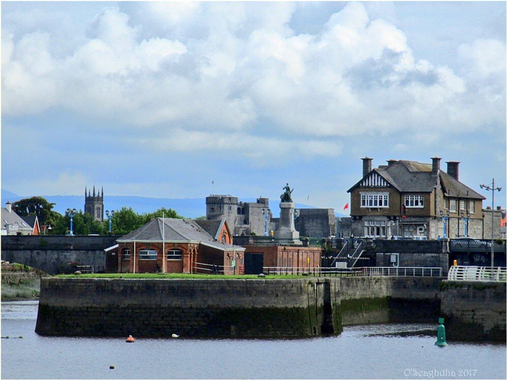 Enclosure in Coonagh EastEnclosure · 1114 yd
 Hachured - IndicatedFairy fort / earthen ringfort · 1329 yd
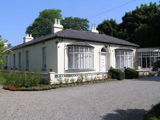 Cragfieldhouse · 1436 yd
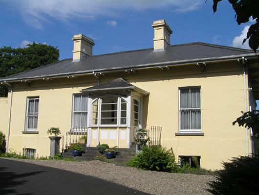 Orelandhouse · 1475 yd
 Coreen Castle (in ruins)Castle, unclassified · 1.0 mi
 Coonagh NatureNature reserve · 1.3 mi
 Site of CastleCastle, unclassified · 1.5 mi
 Limerick Seamen's MemorialMemorial · 1.8 mi
 Saint John Paul IIMemorial · 1.8 mi
 Muckinish PointHeadland · 2.0 mi
 King's IslandIsland · 2.0 mi
 Cratloe WoodsForest · 3.5 mi